Lawrence Barker, Archivist
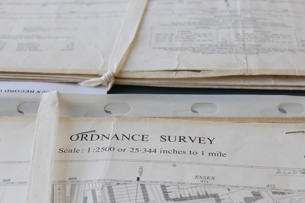
The ERO has a fine collection of late 19th and early 20th century large scale OS maps (1:2500 County Series) available for public consultation in the Searchroom. However, we wanted to extend the collection to include later 20th century National Grid maps of the same scale. Some mid-Essex maps are available to view but many, among various collections which have been donated to the ERO over the years, remain to be made so.
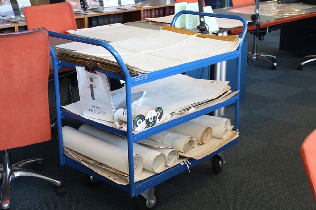
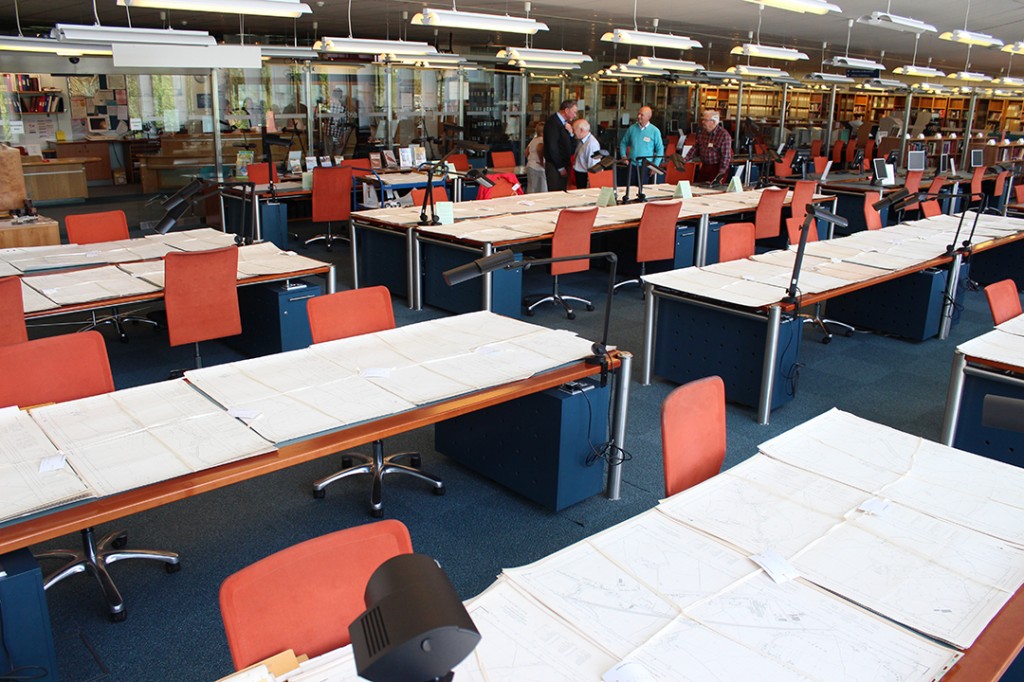
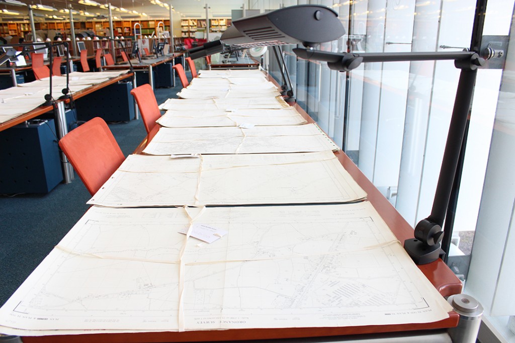
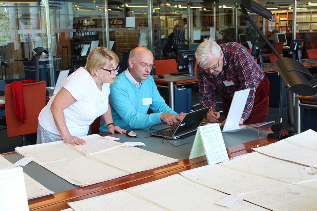
A Map Project involving volunteers has been underway for three years to achieve this and has reached the stage where, having identified and listed our remaining maps and their locations, assessing duplication and condition, we are now ready to select those which will be added to the Searchroom collection. The task is complex though, and involves the volunteers spreading out maps around the Searchroom whilst we are closed on Mondays so they can be sorted.
Our team of volunteers comprises Michael and Jane Thomas, who are NADFAS members, John Longhurst, and Andrew Morton who acts as leader bringing his expert knowledge of maps as a former land surveyor usefully to the task.
The sorting and listing of the 20th century National Grid maps is a long term project that will take a few years, but we are looking forward to the end result of making our map collection ever more accessible.

