When we recently talked about our oldest map of Essex (from 1576) we mentioned how used to we are today to having maps on our phones in our pockets.
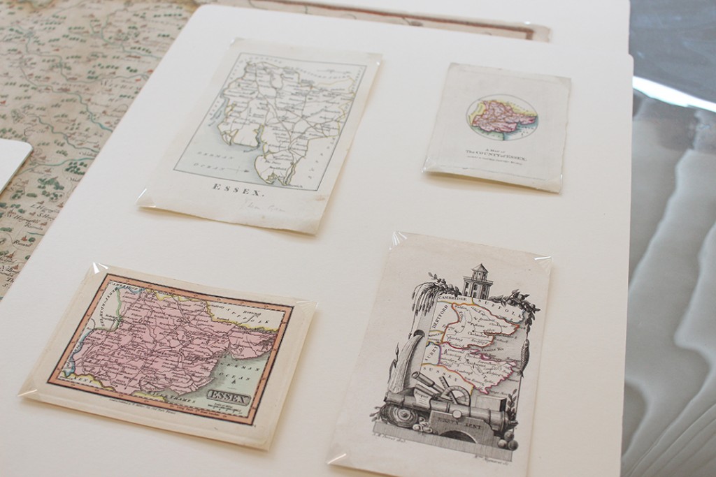
Today we are continuing the pocket-sized theme, nineteenth-century style. These miniature maps are amongst those included in a new book, Printed Maps of Essex from 1576, which we are launching on 21 May 2016.
These very small maps were not intended to help people find their way, but rather as illustrations. They are an example of the engraver’s art in making detailed engravings at such a small scale.
These maps are currently part of a small display in the ERO Searchroom, so do have a look next time you visit.
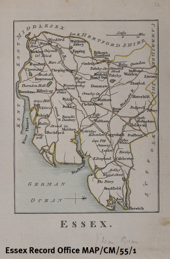
Printed map of Essex by William Green, 1804 (MAP/CM/55/1)
This map is drawn with West to the top of the page, so that it fits well onto the paper. Only after the publication of Ordnance Survey maps from 1805 did it become the convention to put North at the top of the page. It shows only main roads, four parks, towns and a few villages. The map was published in Green’s book The Picture of England Illustrated with correct colour’d Maps of the several Counties, 1804.
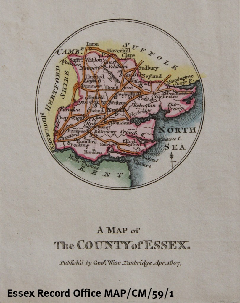
A Map of the County of Essex by George Wise, 1807 (MAP/CM/59/1)
This tiny circular map shows towns and connecting roads, with distances. The Wise family were potters in Kent, and this map was possibly made as an amusement for their clients.
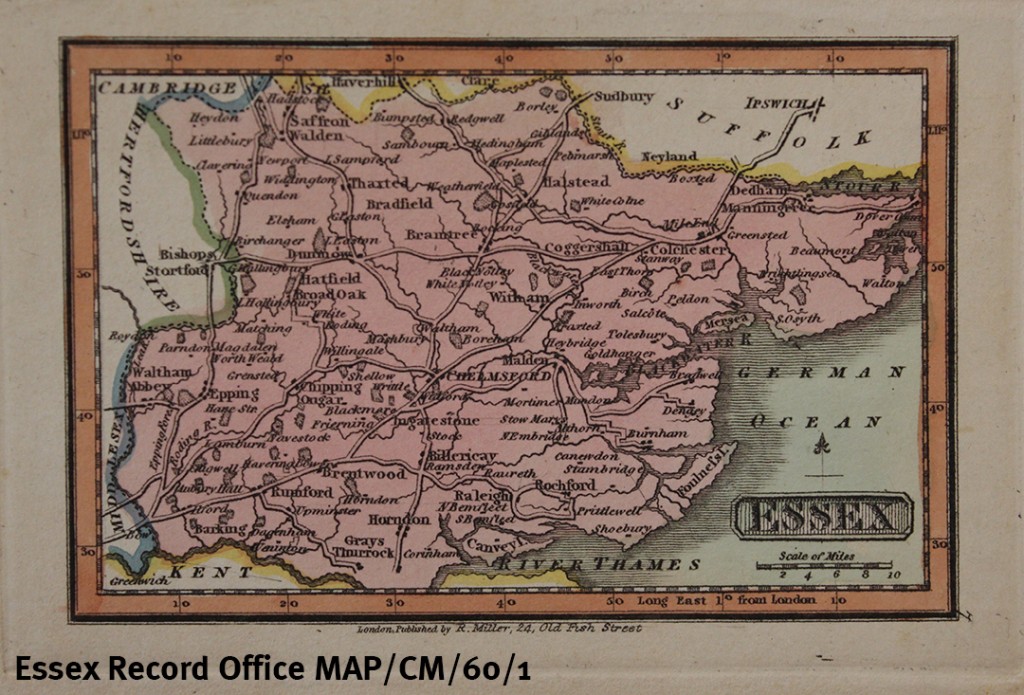
Printed map of Essex by Robert Miller, 1810 (MAP/CM/60/1)
This map of Essex is Plate 7 from Miller’s New Miniature Atlas of 1810, a small-scale atlas at a low price. It was also used in a children’s atlas, Reuben Ramble’s Travels through the Counties of England.
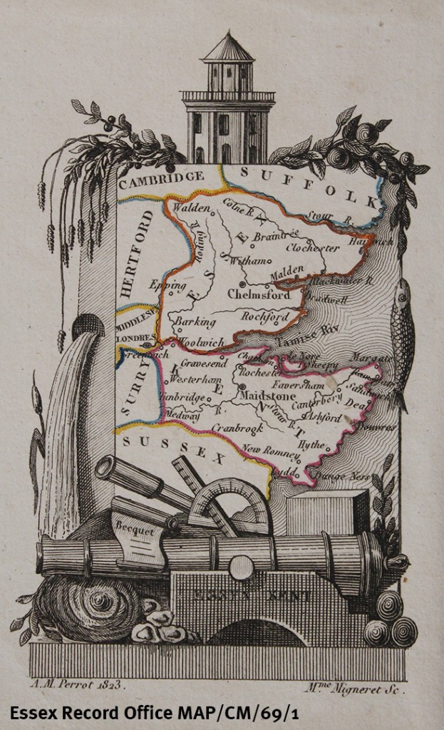
Printed map of Essex and Kent by A M Perrot, 1823 (MAP/CM/69/1)
This miniature map includes 10 Essex towns, plus major rivers but no roads. The map itself is almost swamped by the decorative border featuring wheat, foliage, fish, waterfall, cannon, a telescope, and other objects. It is from a French guide to England of 1823.
_________________________________________________________________________
If you’re a map fan, do join us for the launch of Printed Maps of Essex from 1576 in Saffron Walden on Saturday 21 May 2016 – you can find all the details of the event here.

Thank you for these. Intriguing!