Miniature maps

When we recently talked about our oldest map of Essex (from 1576) we mentioned how used to we are today to having maps on our phones in our pockets.

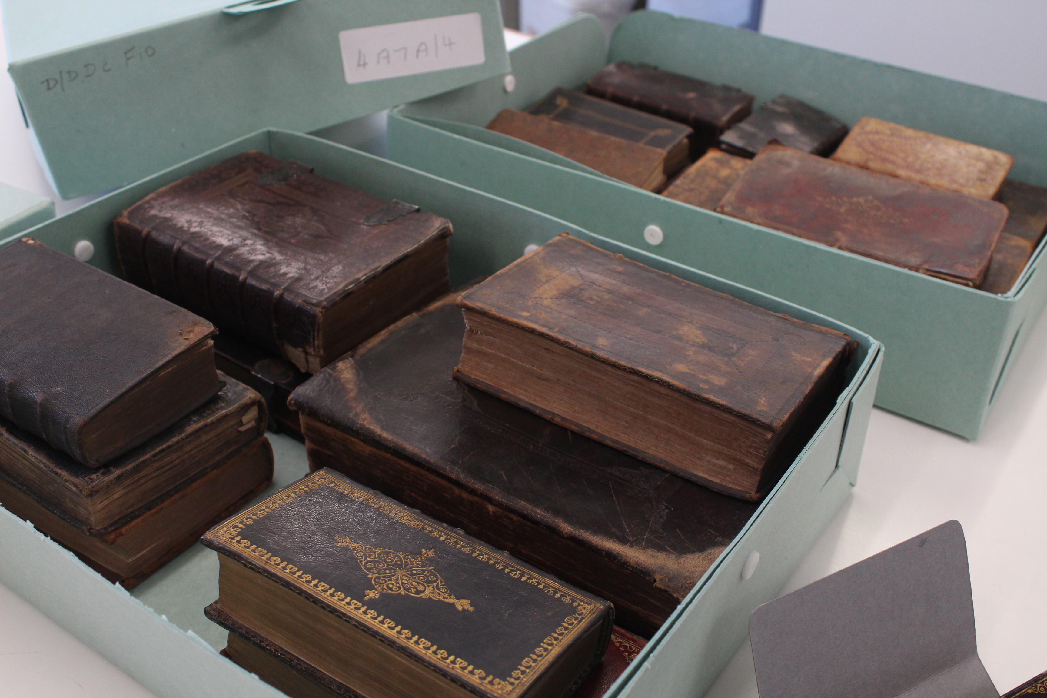
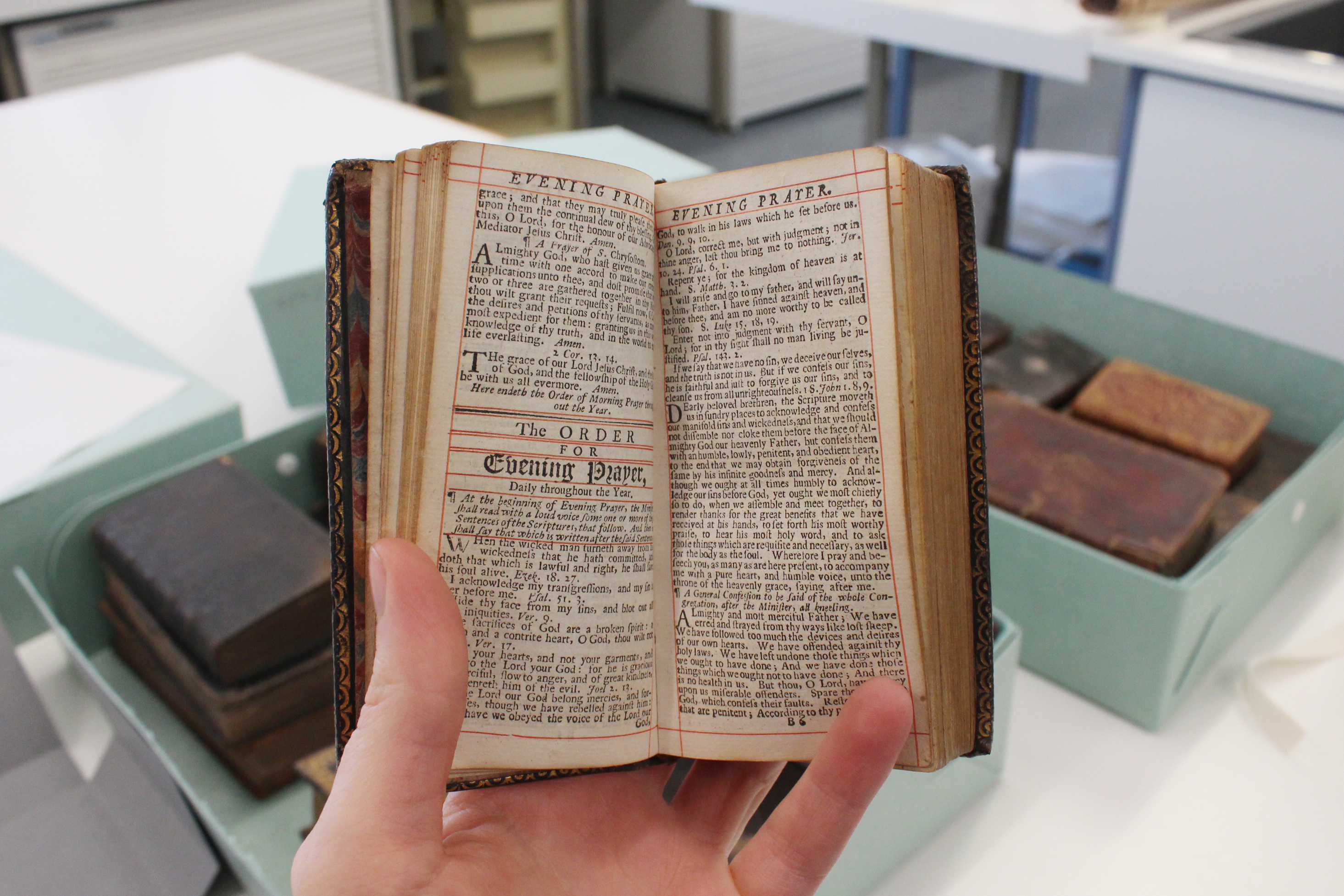
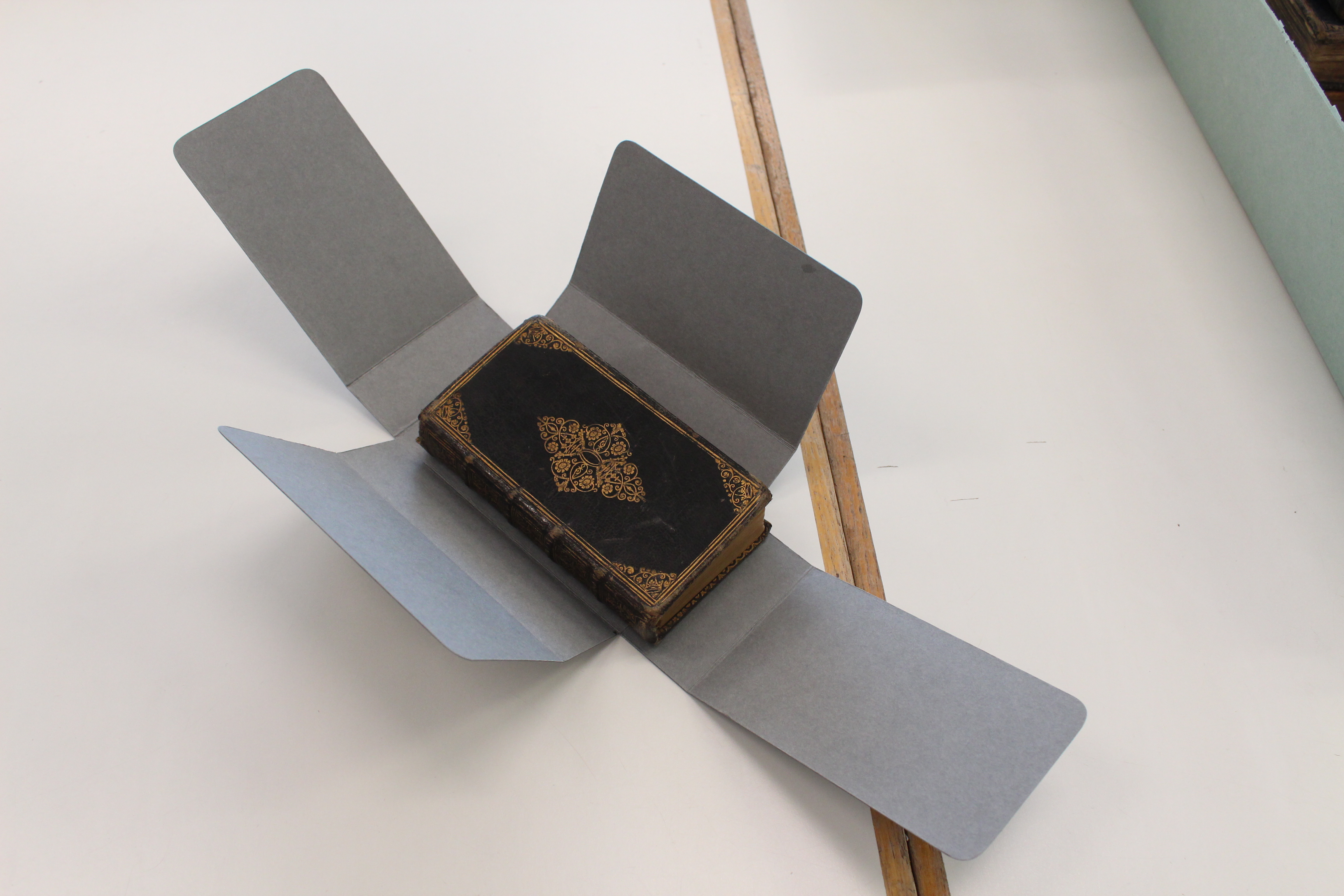
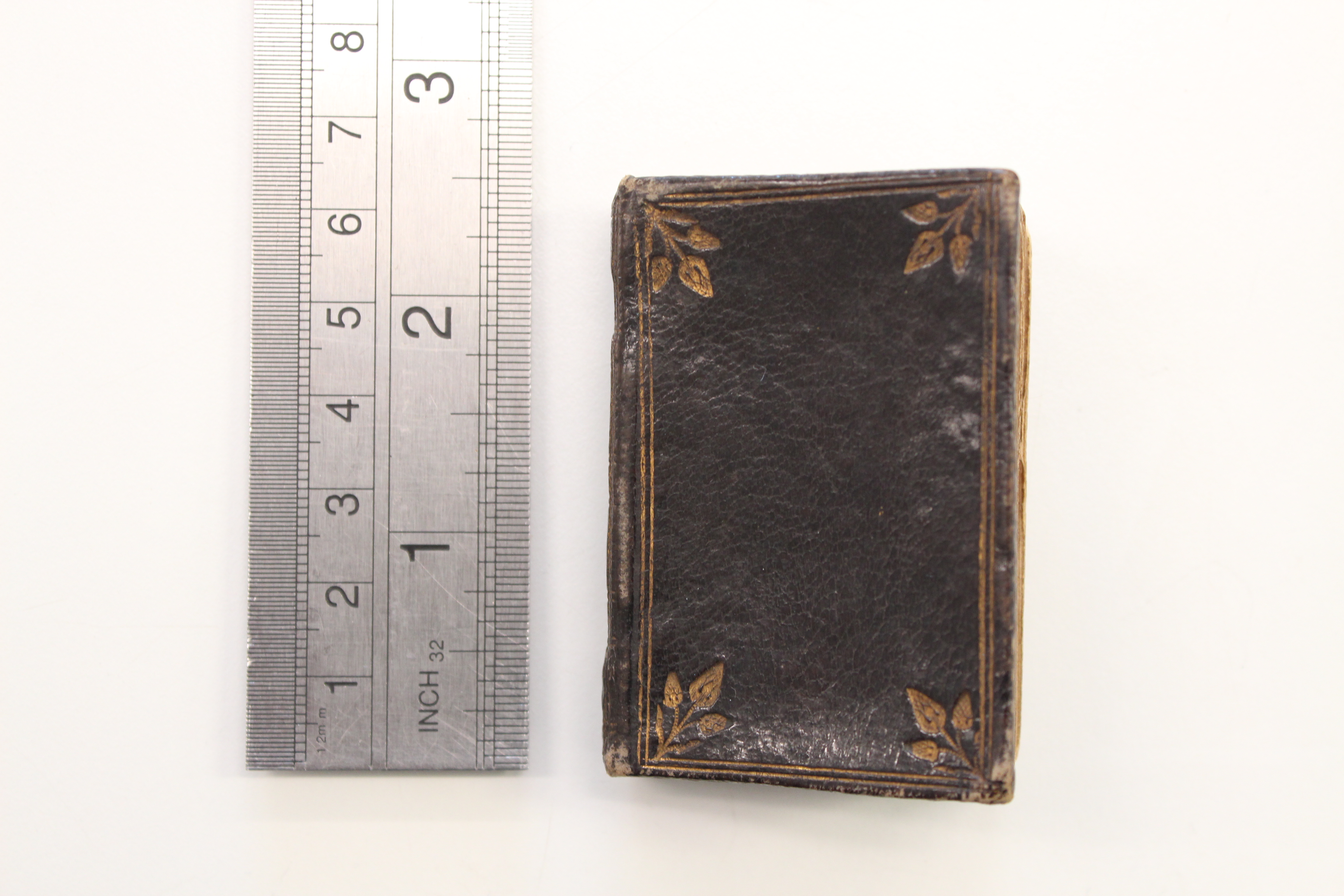
Today we are continuing the pocket-sized theme, nineteenth-century style. These miniature maps are amongst those included in a new book, Printed Maps of Essex from 1576, which we are launching on 21 May 2016.

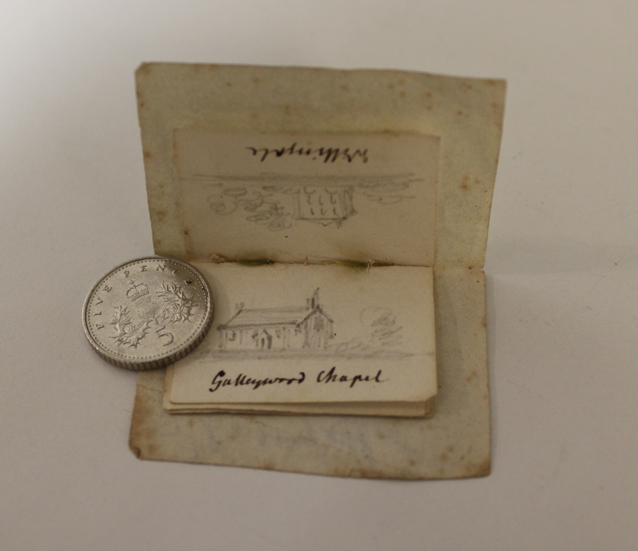
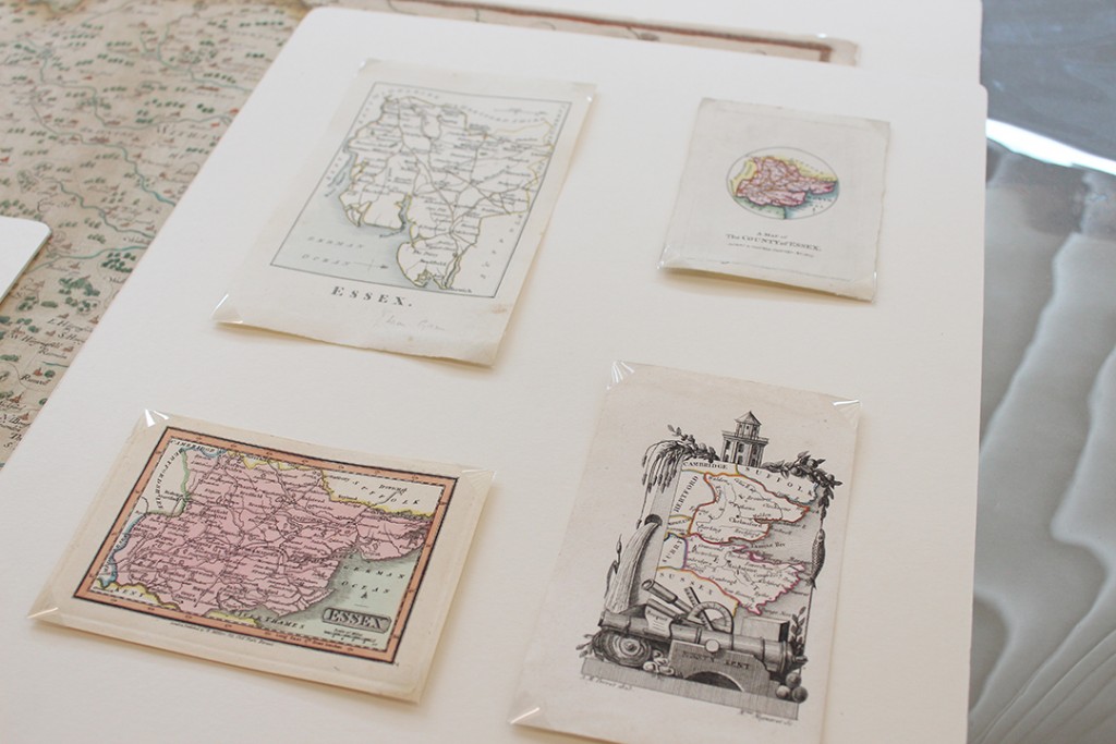
These very small maps were not intended to help people find their way, but rather as illustrations. They are an example of the engraver’s art in making detailed engravings at such a small scale.

These maps are currently part of a small display in the ERO Searchroom, so do have a look next time you visit.

IMG_9844 1080x720

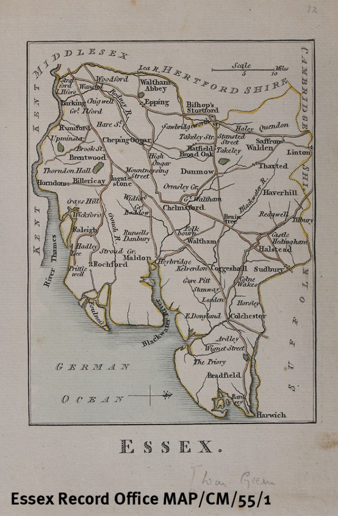
Printed map of Essex by William Green, 1804 (MAP/CM/55/1)

This map is drawn with West to the top of the page, so that it fits well onto the paper. Only after the publication of Ordnance Survey maps from 1805 did it become the convention to put North at the top of the page. It shows only main roads, four parks, towns and a few villages. The map was published in Green’s book The Picture of England Illustrated with correct colour’d Maps of the several Counties, 1804.

MAP-CM-55-1 1080 watermarked

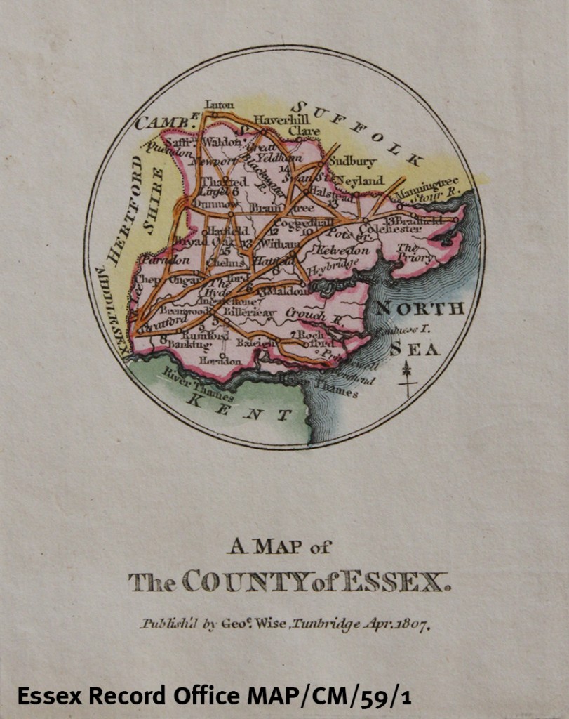
A Map of the County of Essex by George Wise, 1807 (MAP/CM/59/1)

This tiny circular map shows towns and connecting roads, with distances. The Wise family were potters in Kent, and this map was possibly made as an amusement for their clients.

MAP-CM-59-1 watermarked

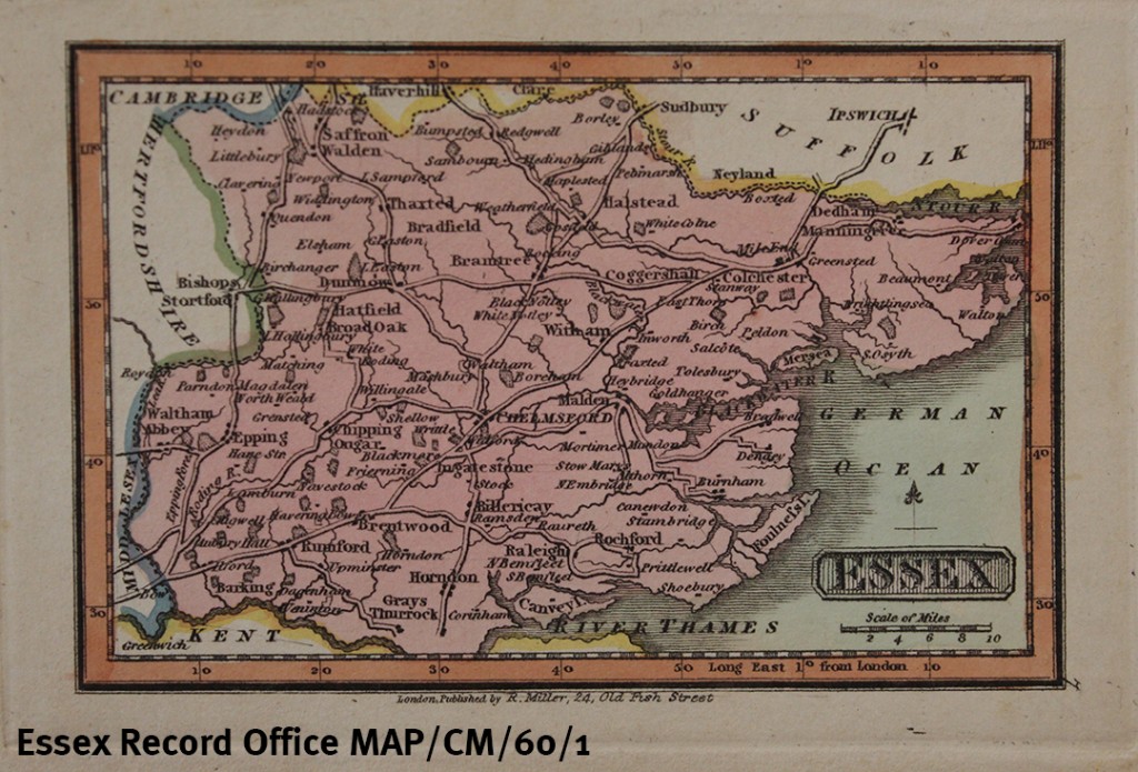
Printed map of Essex by Robert Miller, 1810 (MAP/CM/60/1)

This map of Essex is Plate 7 from Miller’s New Miniature Atlas of 1810, a small-scale atlas at a low price. It was also used in a children’s atlas, Reuben Ramble’s Travels through the Counties of England.

MAP-CM-60-1 watermarked

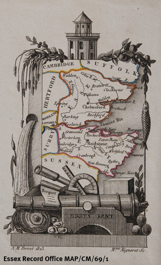
Printed map of Essex and Kent by A M Perrot, 1823 (MAP/CM/69/1)

This miniature map includes 10 Essex towns, plus major rivers but no roads. The map itself is almost swamped by the decorative border featuring wheat, foliage, fish, waterfall, cannon, a telescope, and other objects. It is from a French guide to England of 1823.

MAP-CM-69-1 1080 watermarked

_________________________________________________________________________

If you’re a map fan, do join us for the launch of Printed Maps of Essex from 1576 in Saffron Walden on Saturday 21 May 2016 – you can find all the details of the event here.

Tiny books

Hannah Salisbury, Access and Participation Officer

Recently I was looking for examples of early printed works in our collections, and came across D/DDc F10 – two boxes full of bibles and prayer books that belonged to the Du Cane family of Braxted Park. Most date from the eighteenth century, but some are earlier and many contain written inscriptions telling us who they were owned by.

IMG_5403I happen to like things in miniature, so my eyes were quickly drawn to this prayer book, which is one of the smallest in the collection, and contains correspondingly tiny type. It has now had a special folder made for it to give it some extra protection when stored back in its box.

IMG_5422 edit


IMG_5404

I had already enjoyed my first find, so imagine how much more excited I got on discovering this next book – even tinier at just 2.5 inches high.

IMG_5407It is a book of psalms written in a kind of shorthand developed by a man named Jeremiah Rich.

IMG_5411 IMG_5412

Our Conservator has also made a special folder for this extra tiny book, again to give it some extra protection when it is stored with its larger neighbours.

IMG_5415

IMG_5427

The book was originally stored in this scruffy envelope inside the box, so the new folder is a considerable improvement!

IMG_5416

Both books are now neatly and safely wrapped up in their new folders ready to go back into their box and back into store.

IMG_5429If you are a fan of books, why not join one of our bookbinding workshops to make your own book using traditional techniques? The next course begins on 2 March 2015 – details can be found on our events page.

Could this be our smallest document?

D/DLu 17/6 is definately very small.

D/DLu 17/6 is definitely very small.

D/DLu 17/6 measures just 36 x 26 mm and is so small that we have had to construct a special folder to keep it safe and to make it harder to lose.

D/DLu 17/6 in its specially made folder.

D/DLu 17/6 in its specially made folder.

All wrapped up and ready to go back into storage. The larger folder certainly makes it easier to keep track of.

All wrapped up and ready to go back into storage. The larger folder certainly makes it easier to keep track of.

 D/DLu 17/6 is a tiny sketchbook created by Clarissa Sandford Bramston [née Trant] who was married to the Reverend John Bramston from 1832 (vicar of Great Baddow, 1830-40; vicar of Witham, 1840-72; Dean of Winchester, 1872-1883). It is impossible for us to know when the document itself was created other than to say it must have been created before 1844 when Clarissa died. Perhaps someone with a strong magnifying glass and an interest in Essex architecture may be able to suggest a date?

IMG_1095v

Galleywood Chapel which pre-dated the church before it was a parish in its own right.

The sketches show several churches, chapels and houses of Essex and a rather attractive view of Danbury, all in a surprising amount of detail for its diminutive size.

A view of Danbury.

A view of Danbury.

Alongside this miniature sketchbook, Clarissa also left us several other documents of more reasonable size, including her journals and diaries running from 1800 right up until her death in 1844 and numerous other scrapbooks, recipes and items of correspondence, all of which are part of the Luard and Bramston deposit (catalogued as D/DLu).