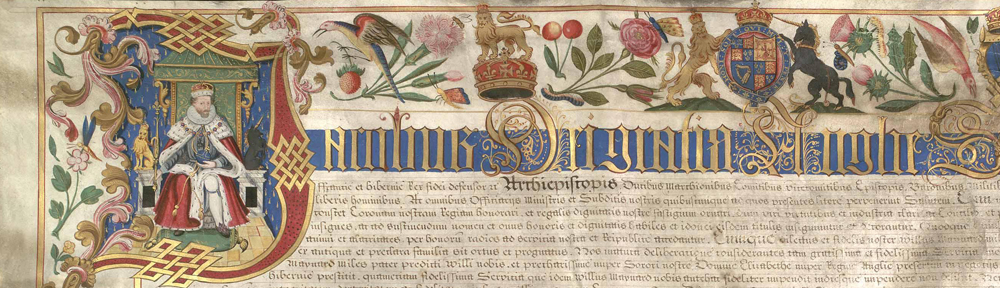
This coming Saturday, 8 November 2014, come and join us at Saffron Walden Town Hall for a look at one of the most spectacular maps in our collection.
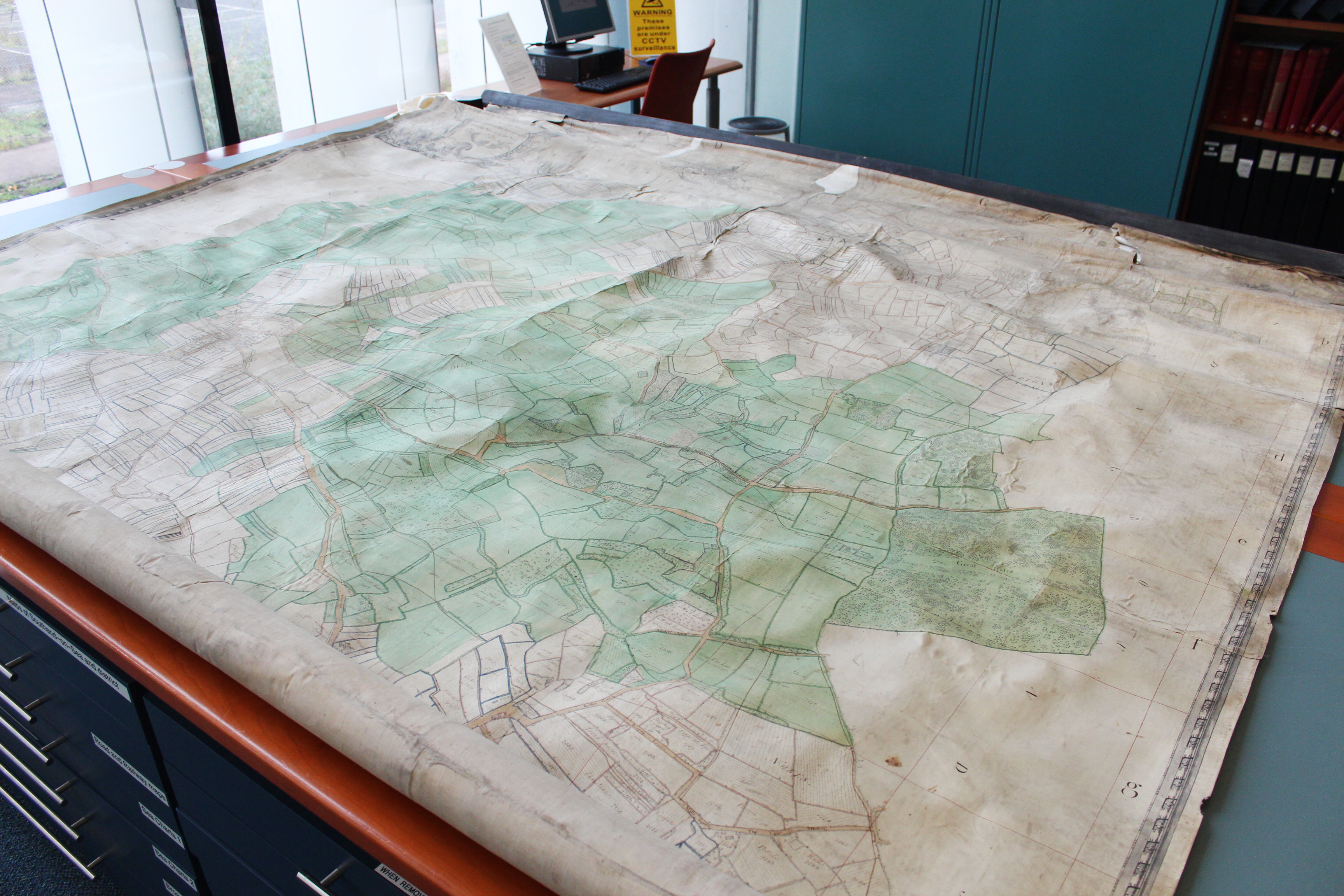
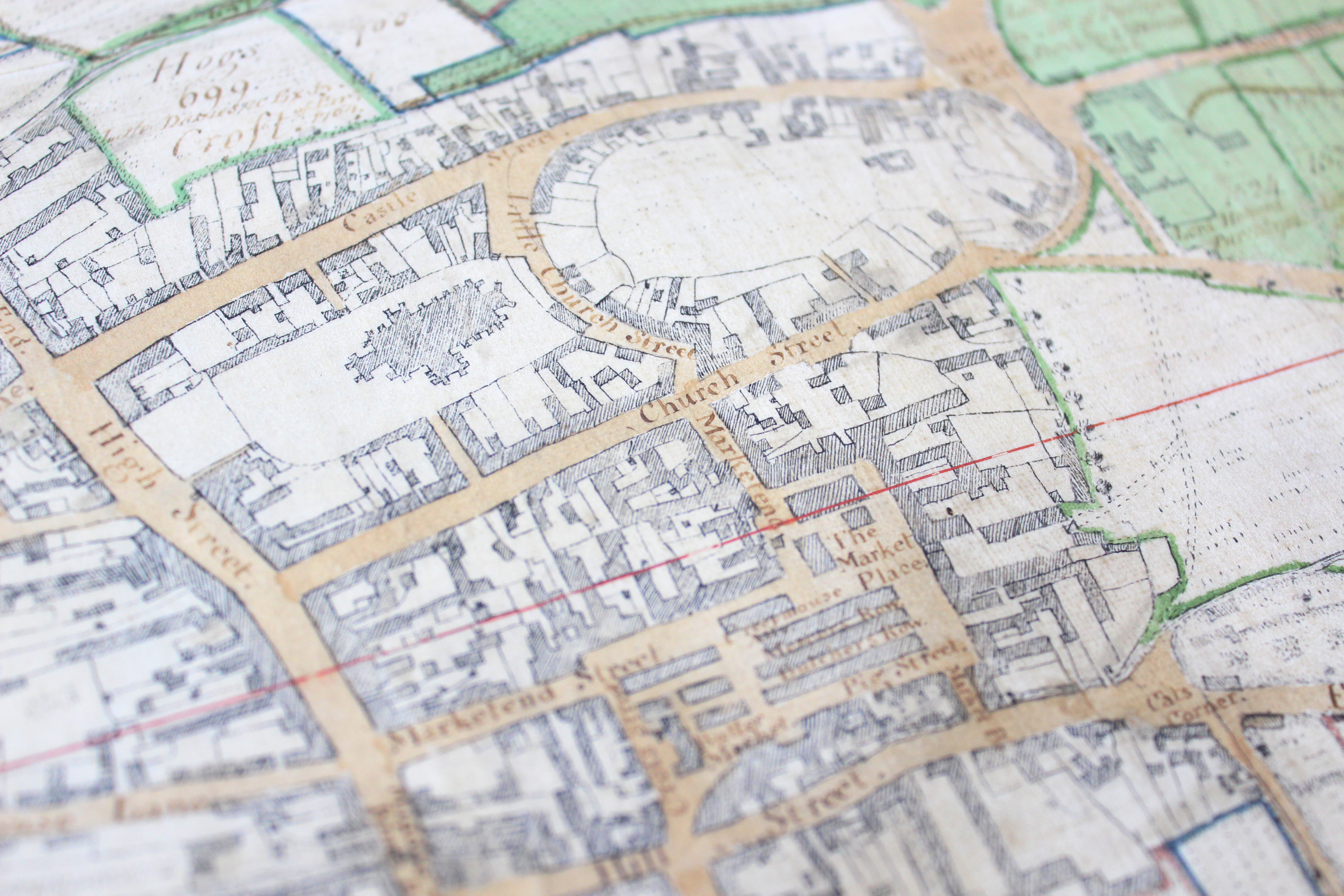
The map shows the town of Saffron Walden and the surrounding area, and is so large we’ve had to give serious thought to how we will transport it!
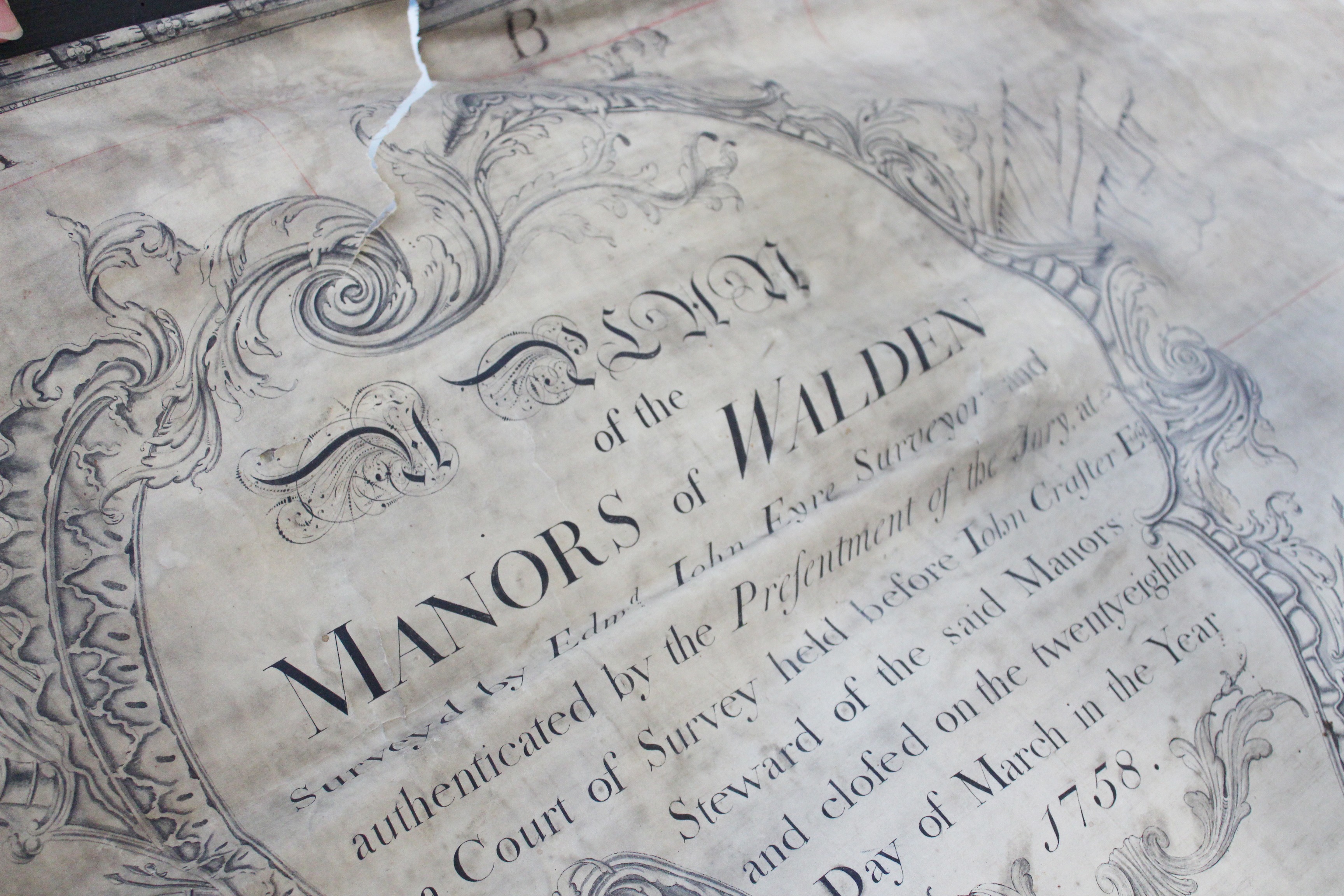
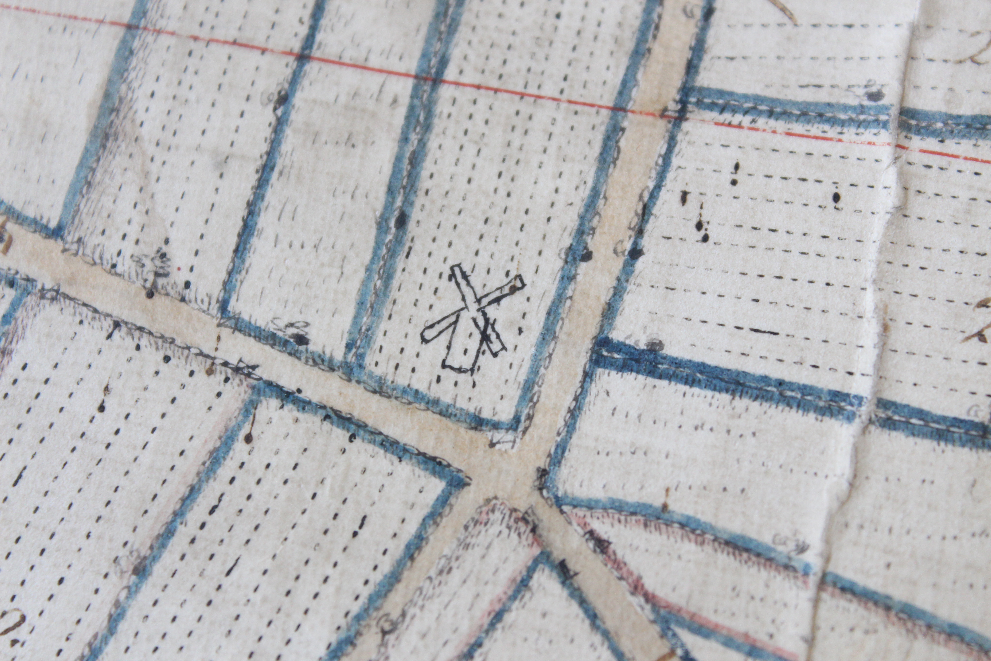
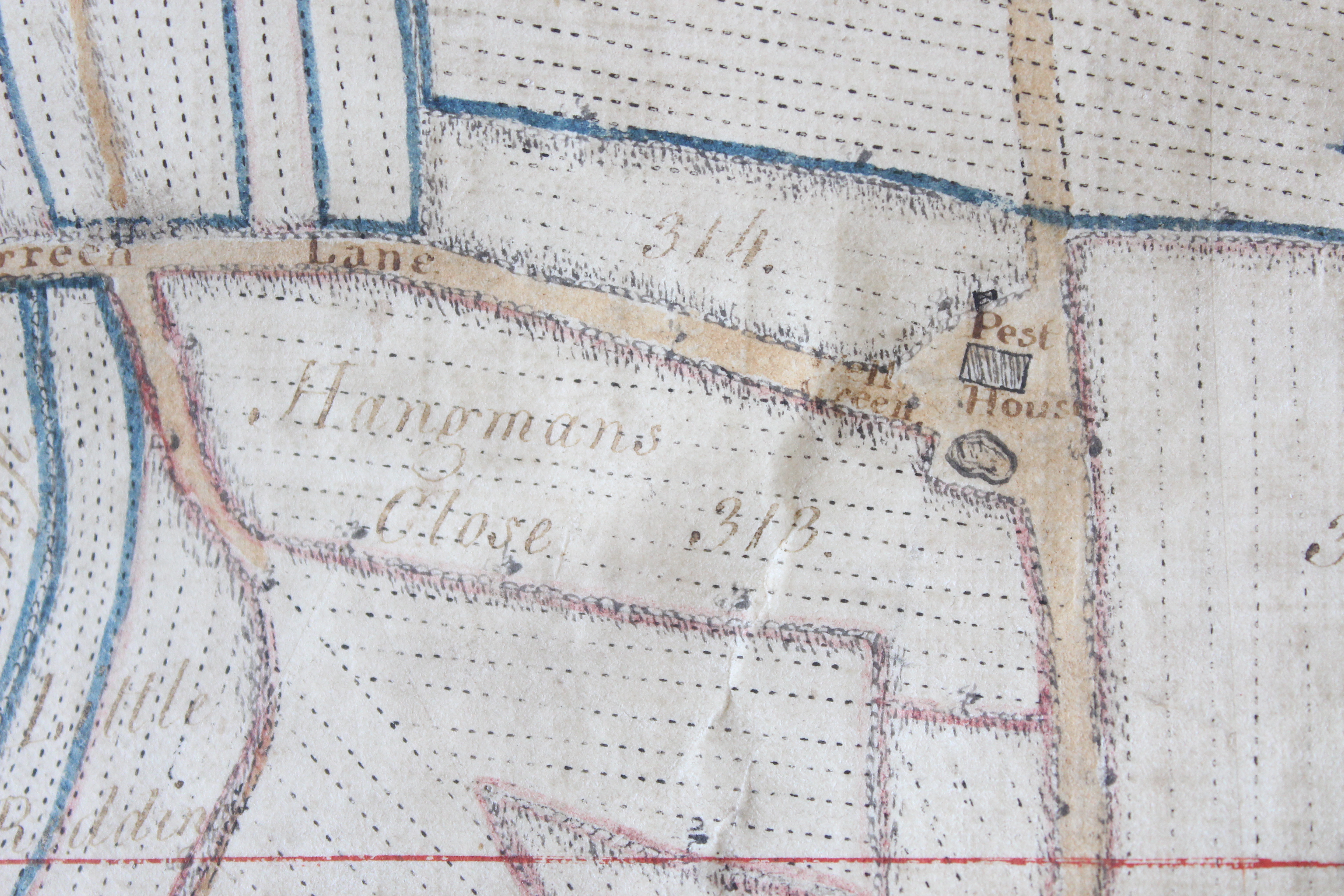
The map was made in 1758 by Edward John Eyre, along with a survey book, recording all the individual pieces of land, and how they were being used. The day will include a talk from an ERO Archivist about how the map and survey book work together.

The map shows the town of Saffron Walden, and lots of other local details.
 If you would like to join us on Saturday to see the map, here are all the details:
Saffron Walden 1758 At Saffron Walden Town Hall
In 1758 an extensive survey was carried out covering lands surrounding Saffron Walden, and several maps were made to accompany the survey books. This is a unique opportunity to see these maps and the survey books displayed together, to explore what the town and surrounding countryside looked like in the mid-eighteenth century.
The day will include a talk by Paul Marden of the Essex Place Names Project at 11.30am explaining the origins of some of the field names on the map. Allyson Lewis, archivist at the ERO will then give a talk at 12.00noon about the survey which accompanies the map.
Saturday 8 November, 10.30am-3.00pm
Free entry, suggested £2.00 donation
Saffron Walden Town Hall, Market Square, Saffron Walden, CB10 1HR
In association with the Saffron Walden Archive Access Point
Supported by Saffron Walden Town Council