This year our volunteers have catalogued over 1000 building plans, primarily from Canvey Island and Southend-on-Sea. Thanks to Annabelle, Ashley, Elizabeth, Freya, Issy, Patrick, Olivia, and Sophie for this monumental achievement!
What are these building plans?
At the ERO we look after hundreds of thousands of building plans, created and collected by architects, owners, and local authorities. The building plans we’re currently cataloguing were submitted to local authorities in the early 1900s. During this period, councils were responsible for making sure that buildings conformed to local bye-laws (for the more detail, see Roger Harper’s Victorian Building Regulations (LIB/690 HAR)). To build a new building – or alter an existing one – you had to send in an application form and your plans to the surveyor of the local council. These were then kept by the council and eventually made their way to us.
What can the records tell us?
Each application will usually include an application form and at least one plan. The application forms are different for each local authority. In this example, from Rochford Rural District Council, the form asks the applicant:
- Where the building is: the street name and sometimes the property name, but not always a number
- What it is: a bungalow, hotel, casino, or even a simple tool shed
- The name and address of the owner, architect, and builder
- Various dimensions
- The number of rooms
- The materials used to build the property

The forms can also tell us about the application process – on the reverse of this form, the surveyor reminds the applicant that all plans must be drawn “on tracing linen” to a scale of not less than one inch to every eight feet, and submitted “seven days at least” before they are examined by the council.
The plans usually feature:
- Elevations and sections: drawings of the building from the front, side, or back
- A floor plan: a drawing of the building from above, showing the different rooms
- A block or key plan: a drawing of the site from above, showing nearby properties and roads

Alongside the form and plan(s), sometimes the packet also includes letters between the council surveyor and owner, architect, or builder, and certificates documenting the inspection or completion of the building.

Letter from Miss Jessie McNaughton of Arcadia Tearooms to ‘the surveyor’ stating that the kiosk would “enable me to sell my sweets and tobaccos outside the tea room as they are affected with the steam of cooking inside… I was quite ignorant of the fact that I had to submit a plan being as it is portable and only for the summer months…”
(D/UCi 2/4/1981)

If you’re trying to find out more about the building you live in, or the building your ancestors lived in, a building application is a great way to start.
Together, the plans can also reveal a huge amount about how Essex developed over time. Take Canvey Island as an example…
Tell me more about Canvey!


People have lived on Canvey Island since the Roman times, when it was home to a large salt-making industry. The Saxons then introduced sheep farming, with the sheep taking refuge from flooding on the ‘red hills’ left by the salt industry. In the 1600s, Canvey’s landowners instigated a Dutch-led project to build a sea wall around the island, making the land more productive. The population of Canvey really took off, though, in the early 1900s, when it became a popular place to visit. Plots of land were sold off to Londoners wanting to escape the city – for the weekend, or for life – and the island community grew from there, reaching several thousand by 1931.
We look after over 70 boxes of building plans for Canvey alone, with each box including 50 to 150 plans. These document the construction of modern Canvey on an incredibly granular level.
Types of buildings
Many of the properties built on Canvey from the 1900s to the 1930s were bungalows (which, sadly, is partly why Canvey was so badly affected by the 1953 North Sea Flood).
We especially loved the range of names people gave them – some of our favourites included The Nook, Maybemaydo, Itsowers, Tarry-A-While, and Waiting.


In amongst the many applications for bungalows are applications for other buildings – shops, kiosks, huts, sheds, pubs, and (a rare treat!) cinemas and hotels. There are even some applications for caravans, like The Maple Leaf, pictured here.


Canvey’s architects and builders
We will be sharing more blog posts about the characters we found in the records, but in the meantime, here are a few of the names we became familiar with. Many of the people listed below are explored in more detail on the Canvey Community Archive website, a wonderful resource for all things related to Canvey’s history.
Architects
- Captain W.H. Gregson, who worked on Canvey from at least 1902, and was based at the Lake House (later the Dr Feelgood Music Bar)
- Alfred G. Loe, who worked on Canvey from around 1912, initially from his home in Walthamstow and later at his bungalow Carradene
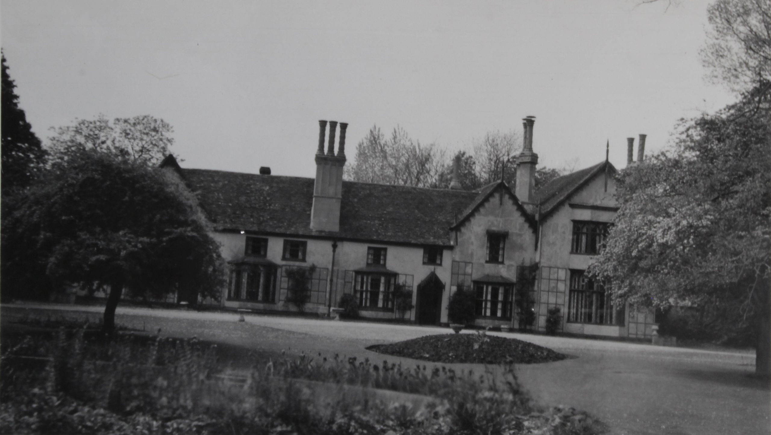
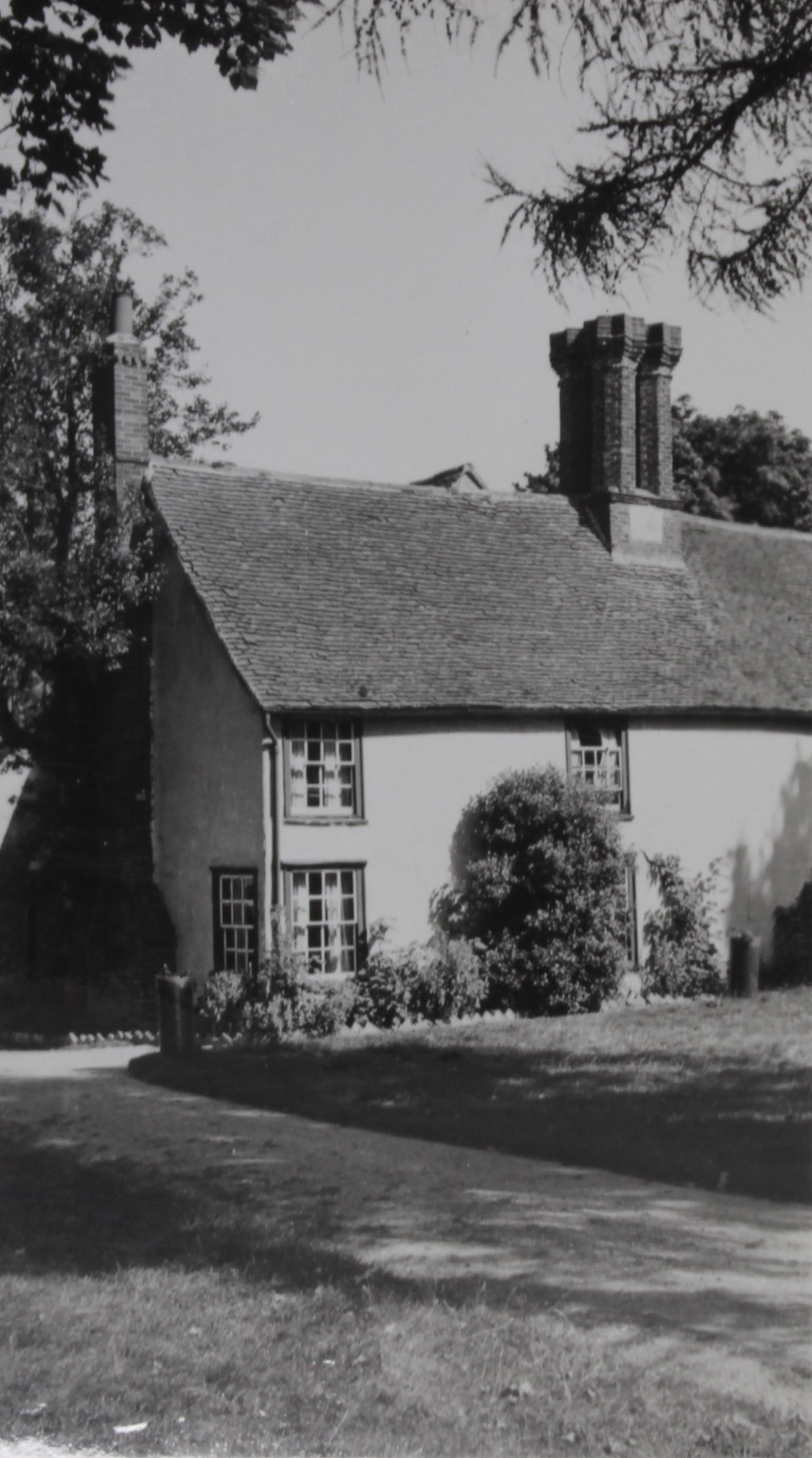
- Eugene E. Lawrence, who self-built his bungalow on Trevia Avenue in 1919 (shown above) and went on to design over 200 properties on the island
- A.G. Millns, who self-built on Roggel Road in 1920, and ended up designing over 100 properties on Canvey
- Thomas McLaren, who worked from the Clock House, where he also ran an emporium selling stationery, photographs, fancy goods, and maps of the island (some of which he drew up himself)


Builders
- Alfred Wainwright, master builder, who built properties on Canvey from around 1907
- Roland George Francke (based at Inglenook, on Fairlop Avenue) and William Johnstone (at Rudyard, on Arcadia Road, and then the Clock House), both active from the mid-1920s
- H. Price Powell and Hubert Redman, who worked as builders and estate agents from the 1920s
- Frederick Fisk, who specialised in brick buildings in the early 1920s and went on to own and build a number of properties, including the Maison Wyck estate
- Susan Fielder and her son Horace Fielder, who bought land on Canvey and, from the mid-1920s, went on to build over 1,000 properties on the island


Adverts from Captivating Canvey, c.1927 (LIB/E/CANV55) and The Guide to Canvey Island, c.1930 (LIB/E/CANV56), as well as a letter from Frederick Fisk, 1937
A special mention also goes to…
The surveyors of Canvey Island Urban District Council – H.J. Sidwell, C.R. Butcher, and especially P.G.W. Stokes, whose rigorous enforcement of the bye-laws goes against the assumption that Canvey Island was like the wild west of planning at this time. In one letter regarding a bungalow on Van Diemens Pass (D/UCi 2/4/1359), Stokes wrote that:
“…the whole position [of the building] is unsatisfactory and I suggest you call at this Office as soon as possible and put the matter in order.”
That doesn’t mean that the owners and architects didn’t push back – in another letter, the architect Eugene E. Lawrence argues against Stokes’ “unreasonable” disapproval of some of his plans, “given his representatives had seen exactly what they constituted” (D/UCi 2/4/1154).
There were also an unusually high number of applications, especially in the early 1900s, from individuals who owned, designed, and built their own properties – including the enterprising friends Henry Perkins and Alfred Barnes, who bought two ex-army huts at Hornchurch in 1921 and applied to re-erect them on Hornsland Road, Leigh Beck.


What information can be found on the catalogue?
When cataloguing archive material, it is always difficult to decide what information to include on the catalogue, and what to leave out – bearing in mind that, in Canvey’s case, there are over 70 boxes to get through.
Using the application for Twilldoo, on Lottem Road, as an example, the information we have put on the catalogue includes:
- Reference: D/UCi 2/4/1209
- Title: Building plan and application for addition at ‘Twilldoo’, Lottem Road, Canvey Island
- Description: Owner: Mrs Mate, ‘Twilldoo’, Lottem Road, Canvey Island. Architect: Wilmot Marks, ‘The Arcade’, High Street, Canvey Island. Builder: W. Johnstone, ‘Rudyard’, Beach Road, Canvey Island.
- Extent: 2 items
- Dates: Submitted 27 Jul 1931; disapproved 31 Jul 1931 (poor Mrs Mate – some of the plans were indeed disapproved)

How can I find a specific plan?
To search for a specific plan, go to Essex Archives Online and search for ‘building plan’ and the street name you’re interested in.
The results will be organised by the ERO reference. If you know when the building you’re interested in was built, you can organise the search results by date, which might make it easier to find if there are a lot of results.
If you search the catalogue and don’t find what you’re looking for, we might still have the plan – it might just not have been catalogued yet.
For Canvey Island, we have catalogued:
All of the individual plans relating to Canvey Island that were submitted to Rochford Rural District Council between 1902 and 1926:
- 21 January 1902 – 16 February 1915 (reference D/UCi 2/1)
- 3 October 1916 – 30 March 1912 (reference D/UCi 2/1A)
- 2 October 1923 – 23 March 1926 (reference D/UCi 2/1B)
Some of the individual plans submitted to Canvey Island Urban District Council from 1927 onwards (all reference D/UCi 2/4):
- 2 March 1927 – 19 October 1927
- 23 June 1931 – 18 January 1932
- 29 May 1933 – 15 July 1933
- 21 January 1935 – 12 February 1935
- 7 July 1936 – October 1936
We are in the process of cataloguing more boxes, so this will be updated in due course. In the meantime, if you’re looking for another year, or a specific street, you might be able to check the council’s registers of plans. You could also use our search service to look into it for you.
What if I’ve found the catalogue record for the plan I’m interested in, but want more detail?
You would be more than welcome to view the building plan in person, in our searchroom. Find out more about visiting us on our website.
Alternatively, if you’ve found the catalogue record for the plan, you can order a digital copy. This can be done through an online form.
Would you like to find out more about the history of your house? Take a look at our guide to house history!