Paper buildings: a volunteer project dedicated to conserving the architectural plans of Frederic Chancellor

We would like to take this opportunity to say a big thank you to all our wonderful volunteers who regularly donate their time and expertise to help with our archives and sound collections and assist in the conservation studio.

The conservation volunteers have just entered the final stages of the Chancellor Project under the guidance of our Senior Conservator, Diane Taylor.

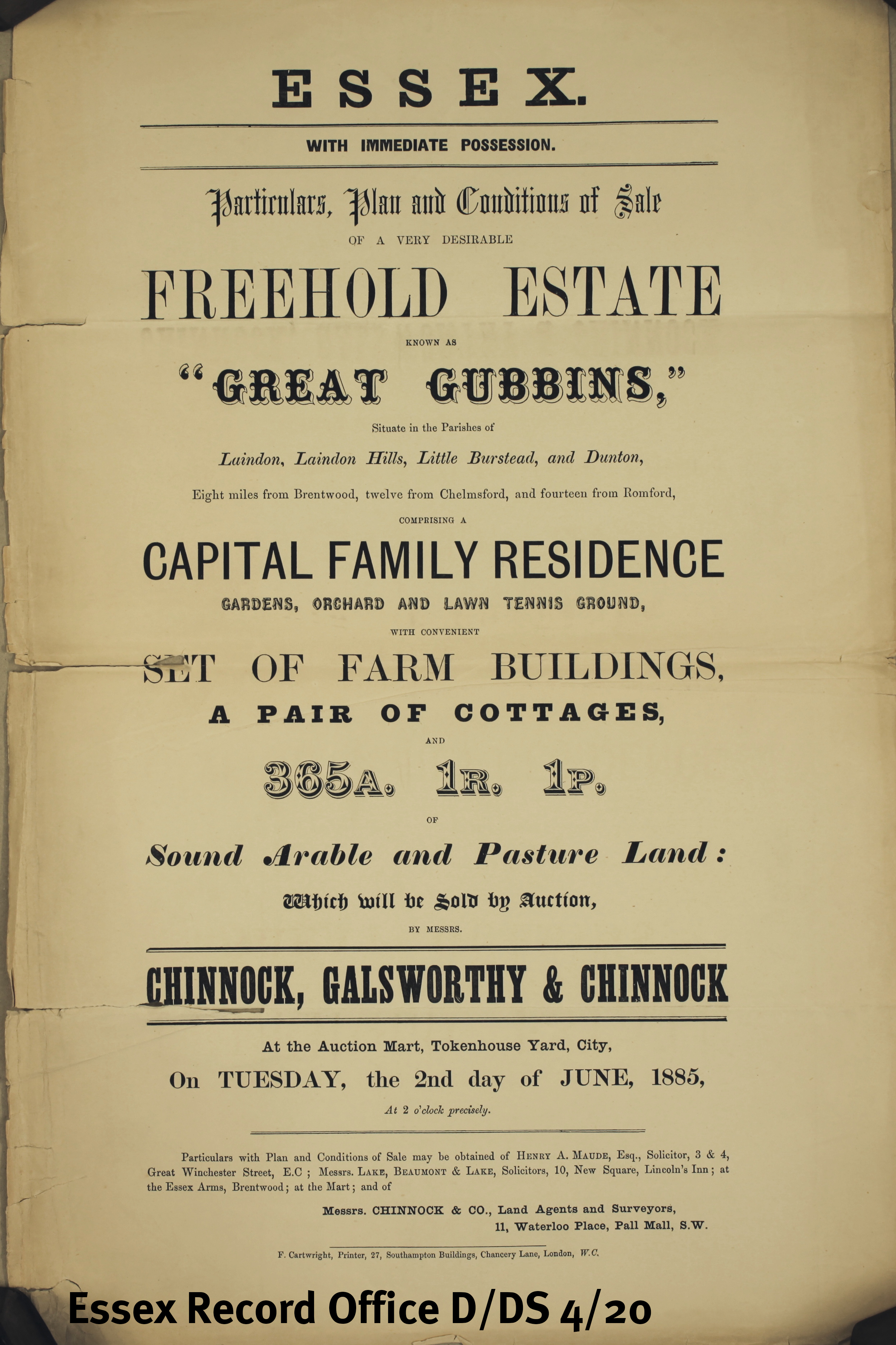
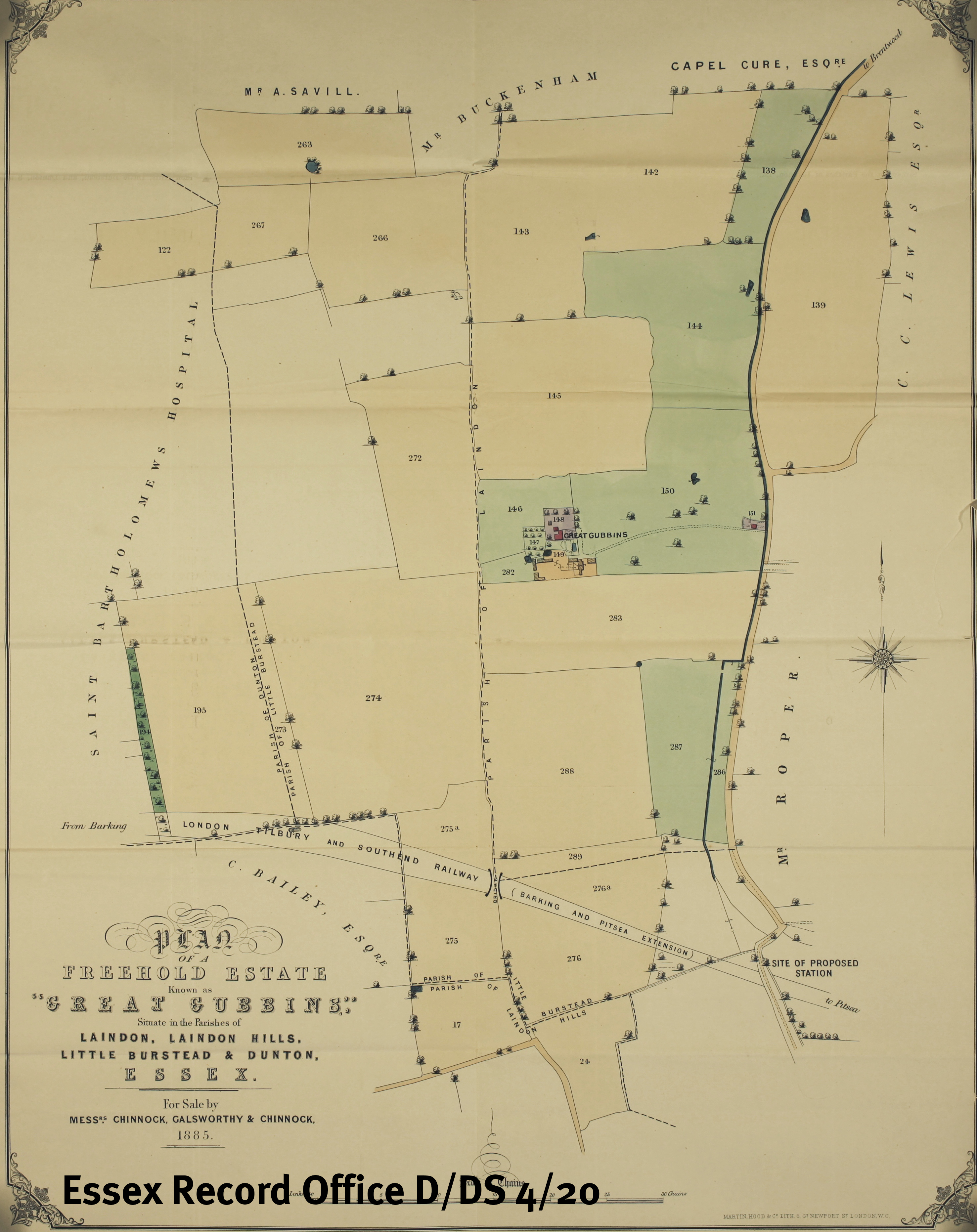
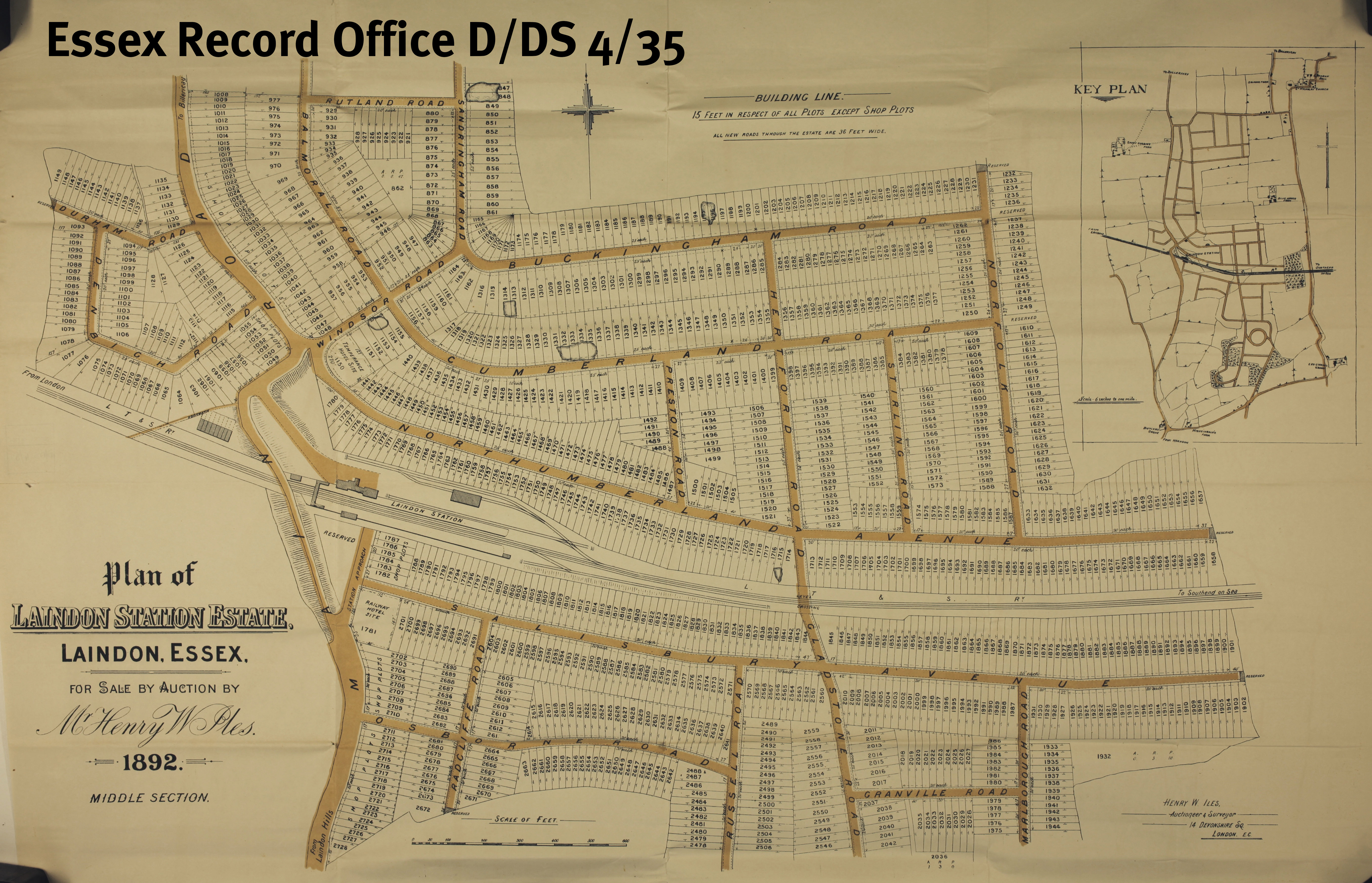
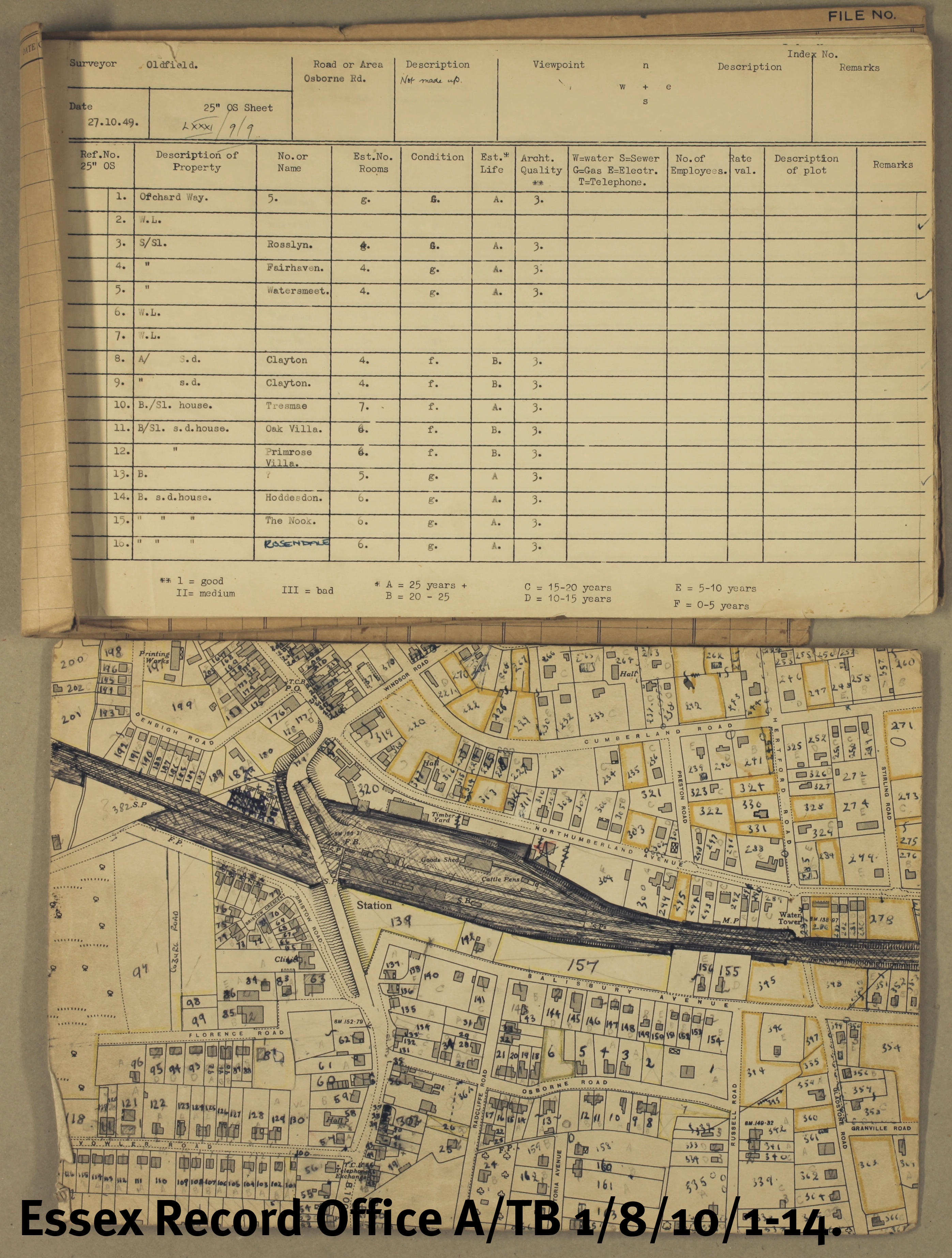
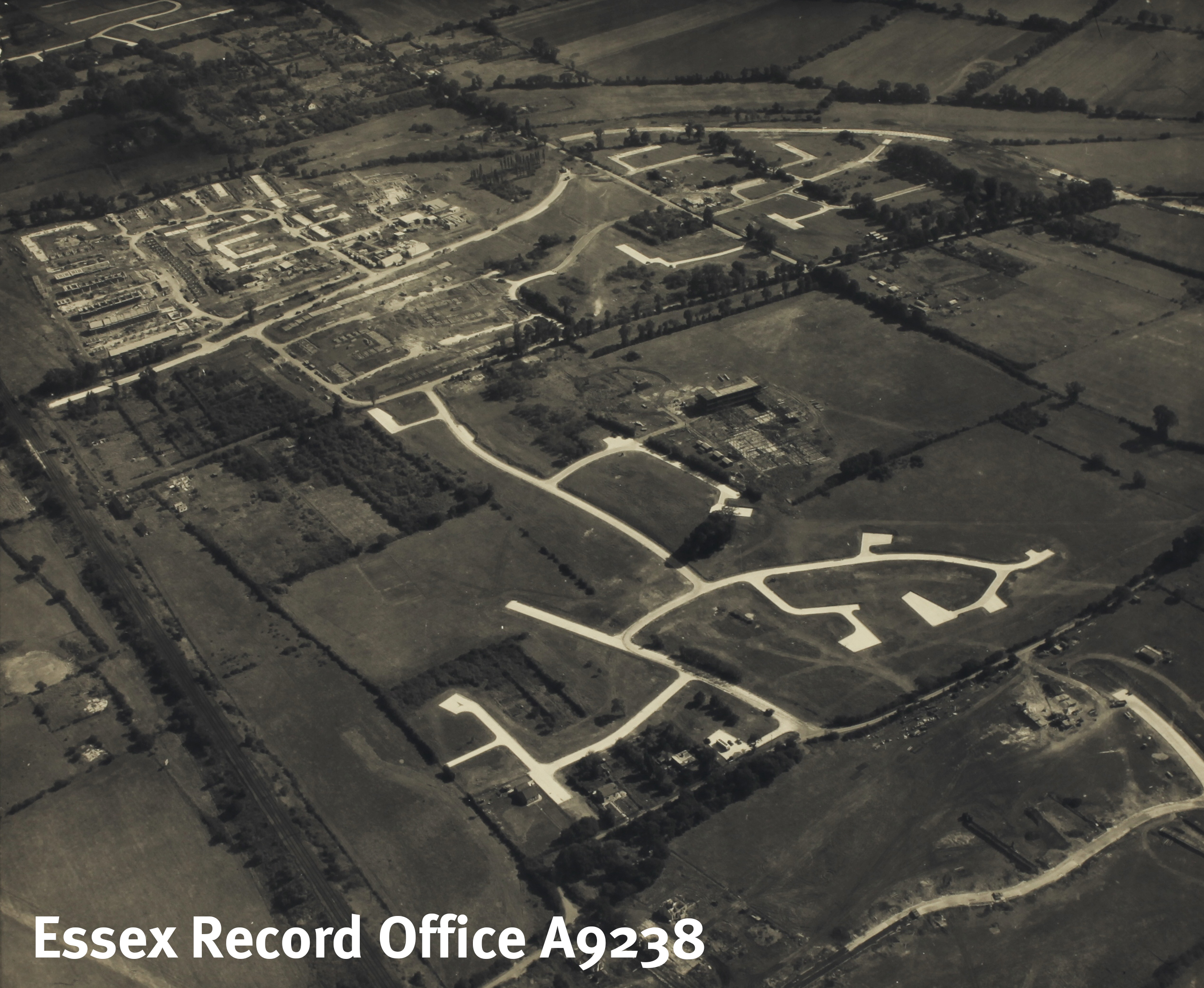
Frederic Chancellor (1825-1918) was a prolific architect with offices in Chelmsford, Essex and London. He was the first Mayor of Chelmsford and served seven terms in the role between 1888 and 1906 and was on the Town Council from 1854-1917. His home, Bellefield House, New London Road, Chelmsford, has a blue plaque for him. Chancellor is credited with working on at least 700 buildings, over 500 of which are in Essex. He worked on all types of buildings from private houses to public buildings such as the Felsted School and the Corn Exchange on Tindal Square in Chelmsford which was demolished in 1969 to make way for the High Chelmer redevelopment. He was also involved with most of the churches in Essex.

Although there was public demand to see his plans, their condition made them unsuitable for production, highlighting the need to make the entire collection more accessible through cleaning, repair and suitable packaging. Since 2014, 535 bundles totalling over 8500 individual plans have been processed and are now available to consult in the ERO Searchroom – a fantastic achievement made possible with a grant from The National Manuscripts Conservation Trust and the support of the amazing volunteers.

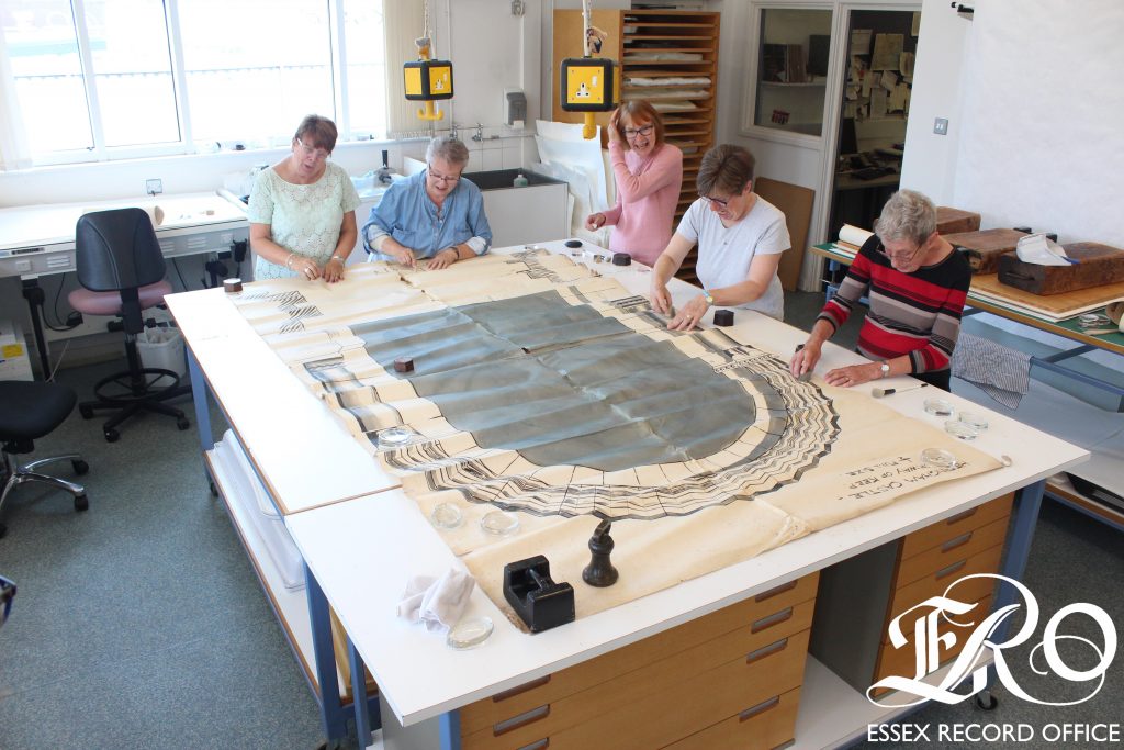
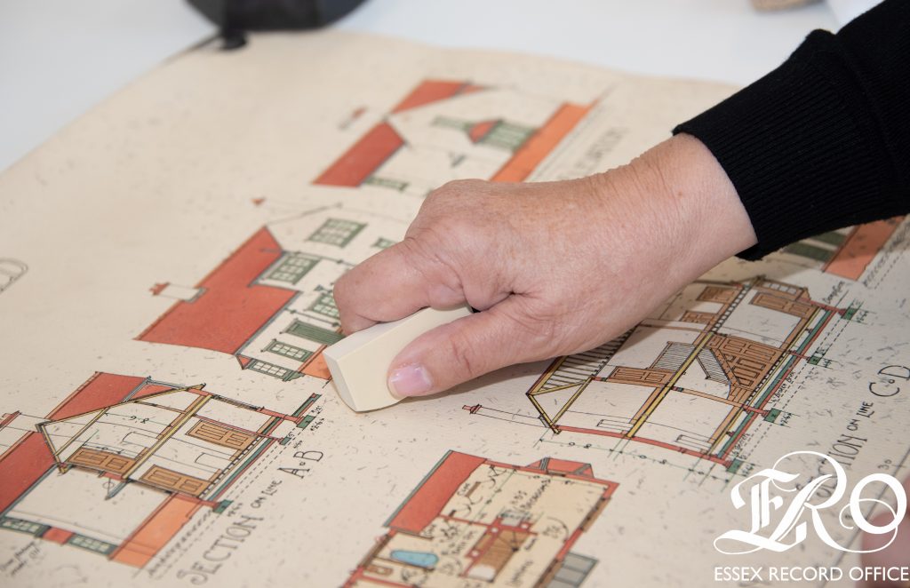
Chancellor’s plans are beautifully produced, and many of them are highly coloured. Most are on paper, but there are some on fragile tracing paper, tracing cloth and some are blueprints.

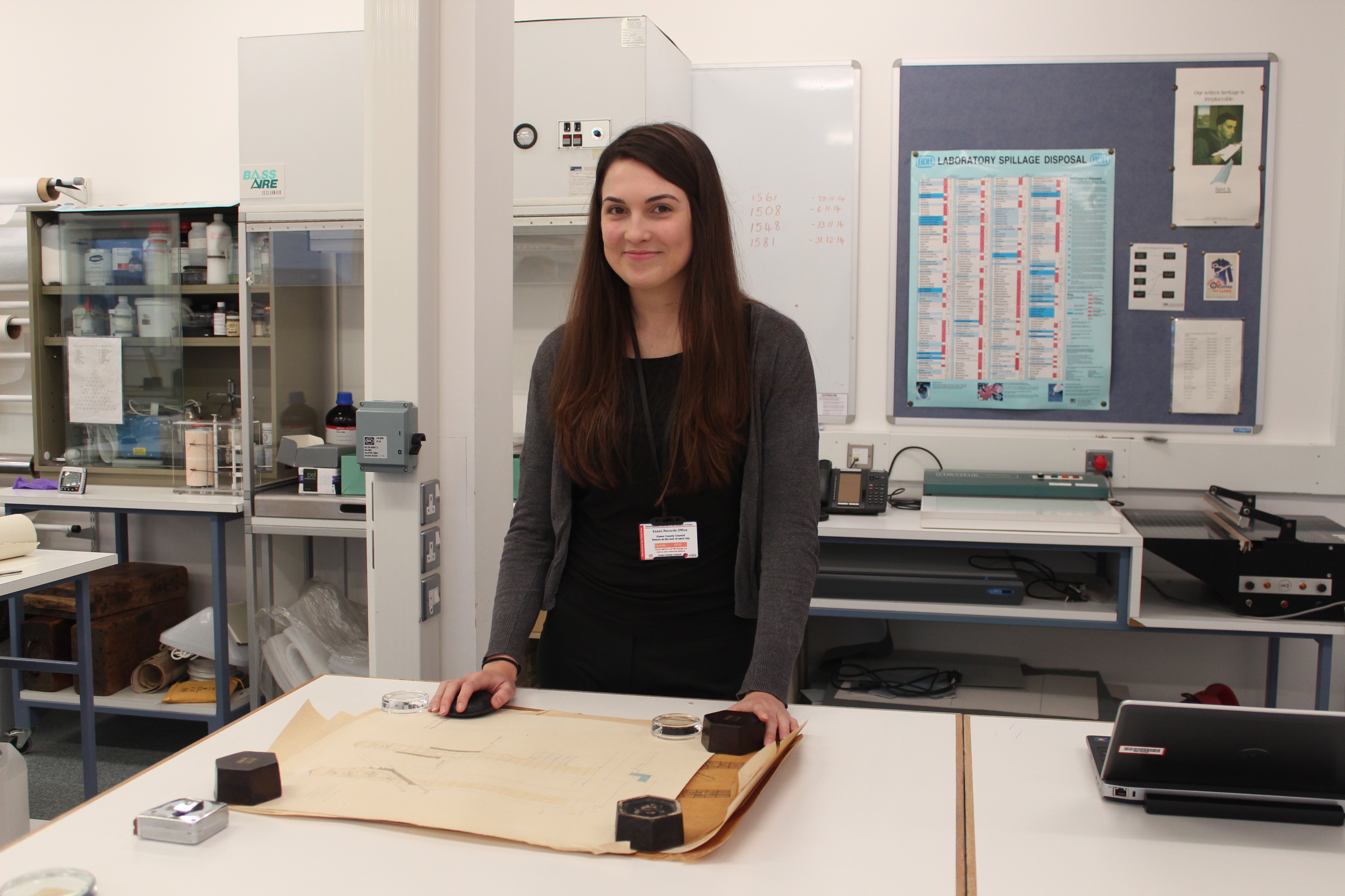
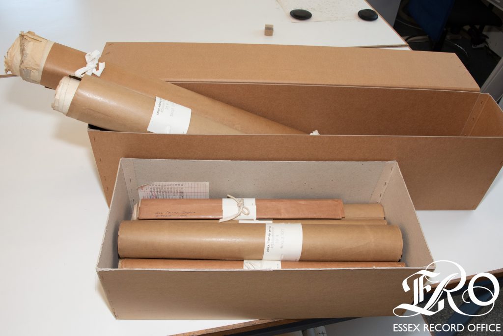
When the plans arrive in the Conservation studio they are carefully removed from their packaging, unrolled, given a unique number, and recorded on a spreadsheet – this enables them to be tracked through the treatment process.

Bundles of rolled plans wrapped in brown paper in brown boxes
Bundles of Chancellor plans before treatment

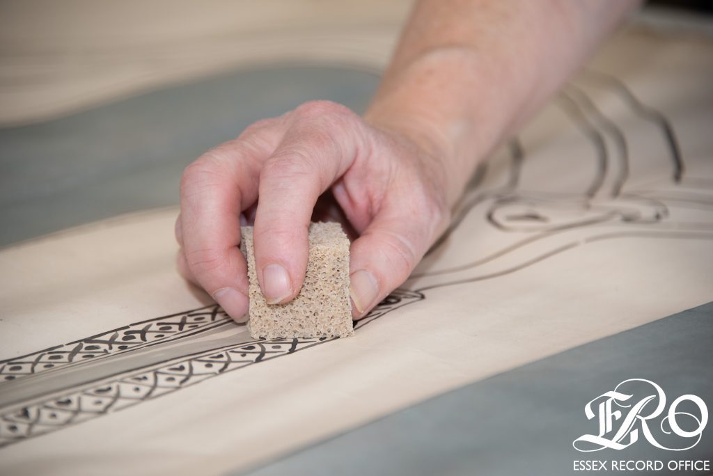
Every plan is surface cleaned by volunteers who are fully trained to identify problems such as pencil inscriptions, and delicate and crumbly paper, which will make cleaning difficult. Once clean, the plans are humidified so that they can be flattened. Flattening the plans is a time-consuming process which takes at least two weeks. Plans with sufficient damage to warrant repair – around 37% – are treated by the conservation staff and assisted by a trained volunteer.

Close up of a hand lightly cleaning a plan using a smoke sponge
Lightly cleaning a plan using a smoke sponge
Five ladies cleaning an outsize plan which has been unrolled on a large table in the conservation studio
‘Many hands make light work’: cleaning an outsize plan
Close up of a hand lightly cleaning a plan using an eraser
Lightly cleaning a plan using an eraser

After flattening and any necessary repairs, the plans are stored in folders or plan chests depending on their size. To date, 36 small boxes, 25 large boxes, 4 tubes, and 48 A0 plan chest drawers have been filled with completed Chancellor plans. This project could not have been so productive without the continued dedication of volunteers who have gifted 7996 hours of time so far. A wide range of people have worked on the plans including retired people with an active interest in history; newly qualified archivists; those exploring a potential future career in archives, whether as an archivist or conservator; work experience students and interns.

Large, shallow green archive boxes stored on metal racking in an archive repository
‘Large’ plans boxed and stored

Our volunteers are committed to completing the sequence of Essex plans which will take us to an estimated total of 10,000 plans being preserved for future generations and made available researchers to consult which will be a fantastic achievement.

The Chancellor plans in this project can be found on our online catalogue here: Chancellor, Architects of Chelmsford, although his plans can be found in other collections throughout the ERO’s holdings.

You may be interested in our previous posts on Cleaning Tracing Paper in the Chancellor collection and Creeksea Church: a hidden Victorian gem, Creeksea being one of Chancellor’s churches.

The passing of the plotlands

Archivist Lawrence Barker takes a look at the rise and fall of the Basildon plotlands…

Anyone exploring the history of the development of Basildon New Town is quite likely to encounter the curious phenomenon of the ‘plotlands’.  These developed throughout the first half of the 20th century but were to more-or-less disappear with the development of Basildon New Town for which much of the land was purchased, compulsorily if necessary, during the 1970s.  The history of this process has recently generated quite a lot of interest (a talk given at ERO in April 2014 in April by Ken Porter proved to be the best-attended of the year).

In searching for original records for another project on the same subject, we uncovered many more previously hidden in the large collection associated with Basildon Development Corporation which was responsible for the creation of the New Town. The development of the plotlands had is origin in the decline of agriculture in this country during the second half 19th century.  In particular, cheaper grain imported from America in the mid 1870s knocked the bottom out of the grain market resulting in many farms switching to pasture.

Great Gubbins sale poster watermarkedSouth Essex, with its heavy clay soils which were more difficult and therefore more costly to work, was particularly hard hit.  On top of that, an extended period of bad weather finally finished off arable farming in south Essex.  Many farms collapsed and were sold off as cheap building land; farms such as Great Gubbins near Laindon.  The sales catalogue (left) and map (below) dating from 1885 (D/DS 4/20) shows the extent of the original farm land which was put up for sale.  Towards the bottom, one can see the proposed route for the new extension of the railway to Southend and the location of the new station to be built for Laindon. Great Gubbins sale map watermarked

It is interesting to compare how the same area looked 50 years later on an OS map in 1939 showing the plotlands landscape fully established (below, with Great Gubbins Farm outlined in red).

OS map new series 1939 81-9 watermarked Yet, little seems to have happened at first.  Another sales catalogue with map for the same land dated 1893 (D/DS 15/2) shows the vacant land this time split into 5 lots.

Laindon Station estate sale cat 1 watermarkedIt was the coming of the railway that seems to have boosted sales but not perhaps in the direction the vendors had originally hoped.  Records dating from the 1890s for the development of the neighbouring estate surrounding the new Laindon station (D/DS 4/35), called the Laindon Station Estate, include posters and catalogue (left) advertising cheap building land and show the aspiration held by the vendors Protheroe and Morris that the area would ‘shortly become an important residential neighbourhood’ served by shops and even featuring a new Essex racecourse.  This time the land was parcelled up into hundreds of smaller 20-by-140 foot plots (hence plotlands) which buyers could combine to create larger plots if they wished as shown on the accompanying map (below).

Laindon Station estate 1892 watermarked

Instead, although a new hotel and some shops were built near the station, most of the plots were bought up by hoards of ordinary folk as individuals who erected all kinds of chalets and shacks which they used as weekend retreats.  The pictures below were found among many such photographs in the first box of Basildon Development Corporation records (A9238) and demonstrate the variety of buildings erected by the plotlanders, in this case in Victoria Road on the former Great Gubbins farmland.

Victoria Road Photos watermarked Deanna Walker provides a fine first-hand account of the process in her book Basildon Plotlands published in 2001, where she describes her childhood memories as a resident of Dagenham spending weekends in the plotlands at Langdon Hills. Later still, many people replaced their shacks with more substantial bungalows and came to take up permanent residence. When the time came for the land to be designated for development for Basildon New Town, the Development Corporation commissioned surveys of the land which include maps of the various plots based on copies of large scale OS maps with each plot numbered, linked to a description, name, no. of rooms, condition, life, architectural quality, services (e.g water, sewerage, gas, electricity), rate value, condition of plot, and remarks (see below).  These have been catalogued as A/TB 1/8/10/1-14. Laindon Station estate 1949 watermarked Material uncovered Box no.1 of A9238 includes aerial photographs of the Basildon area prior to development of the New Town showing the plotlands, and later photographs showing the transformation from plotlands to new town.  For example, the photograph below shows how the streets planned for residential estates were created first with building following on after, and one can just detect a few remaining plotlands before they were obliterated. Baslidon Aerial Photo 1 watermarked Typically, people whose properties were affected were encouraged to accept the inevitable and take the initiative in coming to an agreement with the Development Corporation to sell their plot to them and so avoid compulsory purchase. A typical letter is one received by a plotland owner on 30 January 1962 which begins by outlining the Corporation’s intention to develop the area and that their property will be affected.  It then goes on to say that the Corporation has authority from the Minister of Housing and Local Government to:

…buy by agreement the land and property required for this redevelopment and it is hoped that you will be prepared to consider opening negotiations for the sale of your property by agreement to the Corporation.

The Corporation also offered to pay for legal costs, surveyors’ fees and ‘reasonable removal expenses’ if an agreement is reached and, in addition, to offer alternative accommodation. Not everyone was affected though.  Another box (no.33) includes individual case files of plotland properties which were not to be affected by the creation of the New Town and which possibly still exist today.

If you would like to find out more about plotlands for yourself, there is plenty of material to explore in the ERO archive and library.

New team member: Rachael Smith

Name: Rachael Smith

Role: Archive Assistant

IMG_5078

Why did you want to work at ERO?

I have always had an interest in history and my previous job with Essex Libraries gave me lots of skills that transfer well to ERO. I was first introduced to archive services whilst I was studying architecture at university; the vast resources available on historical buildings aided my studies immensely which gave me a real appreciation for archives.


Describe an average day at ERO for you:

I’m only just starting to experience what an average day is like as I started working at ERO during the annual stocktake, during which I met the rest of the ERO team and was introduced to the various tasks that are required to keep the Searchroom and the repositories in running order. I helped with jobs such as the creation of a photographic catalogue of the ECC art collection, and checking the physical contents of each shelf location against the digital record we have on Seax. My favourite day was when I spent time in conservation helping to clean the Fred Chancellor plans.


What do you do when you’re not at ERO?

I am a keen long distance runner, regularly running cross country. My passion is architecture and I love travelling to study buildings. I am from a family of artists so you’ll mostly find me drawing or painting, but I do also enjoy technical 2D and 3D drawing on various CAD programs. What most people don’t know about me is that I am on a darts team!


Can you tell us about an interesting document you have come across while at ERO?

This would have to be the Arbitrator’s Award map of Epping Forest (Q/RDe 1) that is due to be included in an outreach event in 2015. This is the largest map that I have ever seen at 30’6” by 12’9”. It was created in 1882 following the Epping Forest Act of 1880. It is fascinating to think about how long it must have taken to draw this map by hand.