Good and perfect memory: willing investigations

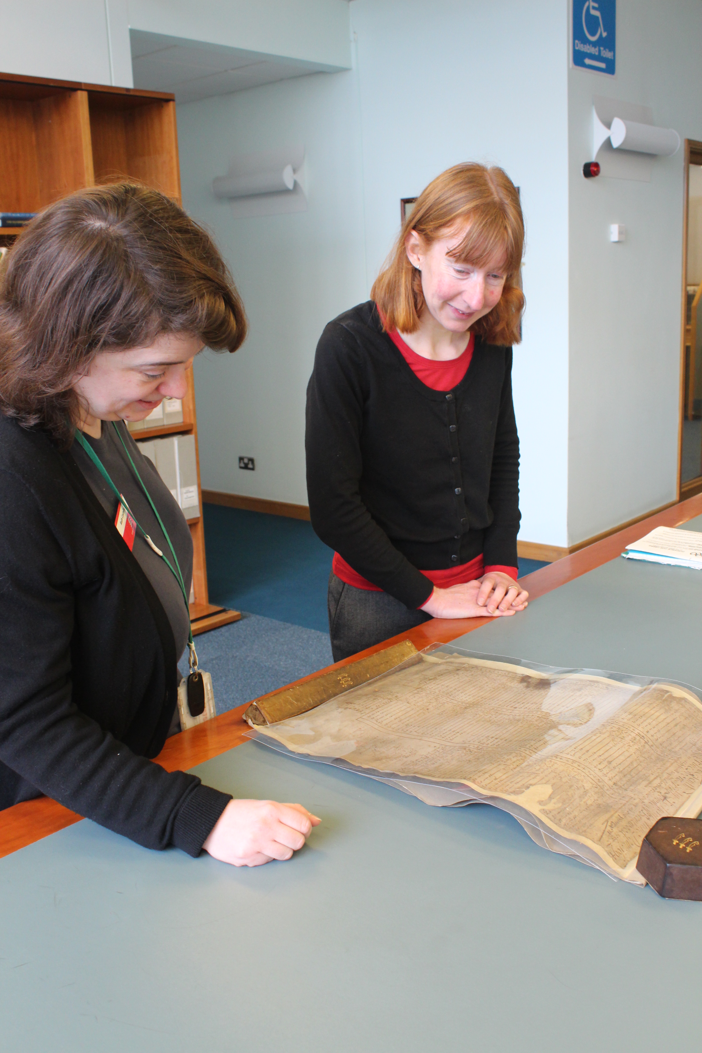
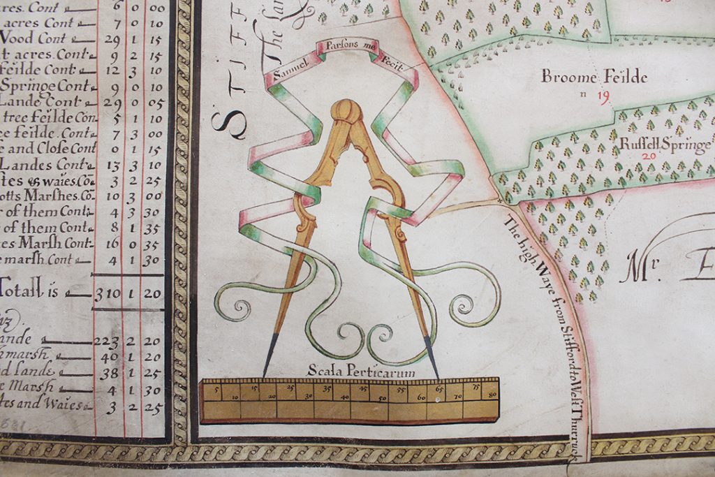
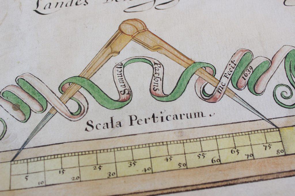
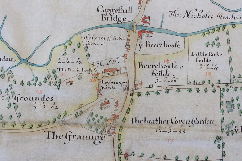
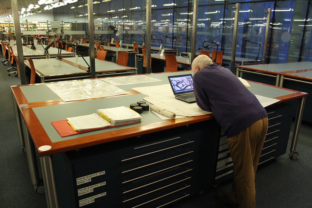
Is there something in our collection that you would love to investigate, but you aren’t able to visit us yourself? Or perhaps a document that contains vital information, but it’s just too tricky to decipher? Whether you are researching the history of your family, your house, or a vintage or classic vehicle, our Search Service might be able to help you.

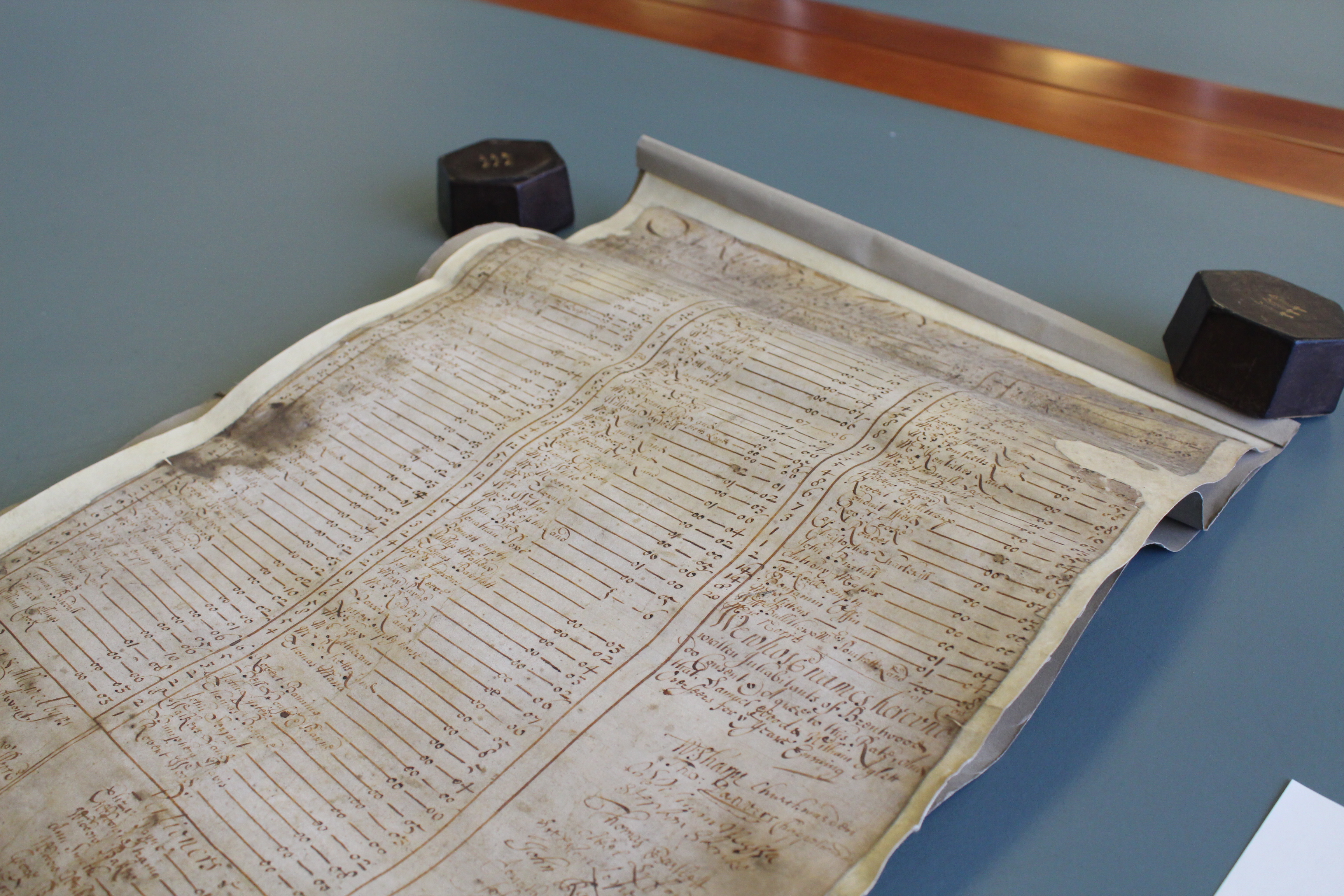
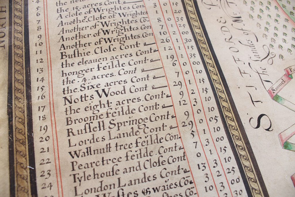
One of the most frequent search requests we receive is to dig out information from the tens of thousands of wills in our collection. These date from around 1400 up to 1858, and contain all sorts of juicy nuggets of historical information.

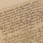
One such will that our Search Service was recently asked to transcribe was left in 1615 by John Pease, who was a yeoman and lived in Great Baddow (D/ABW 30/235). Getting to look at a document in this amount of detail and delve into the lives of people long gone is always a treat, despite the trickiness of the handwriting.

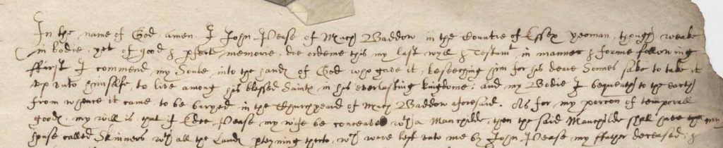
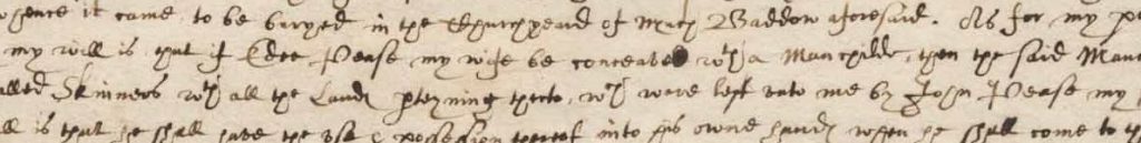
The beginning of John Pease’s will, made on 11th January 1615. Just three days later his burial is recorded in the local churchyard.

Wills can be fabulously interesting documents and if you are particularly lucky you will find out the names of family and friends and details of property and this will is no exception. As is usual for a will of this period John Pease ensures that there is no doubt that while he is ‘weak in bodie’ he is ‘yet of good & p[er]fect memorie’. If there was any doubt as to his mental capacity then, just as now, his will would be invalid. He bequeaths his soul to God and his ‘Bodie I bequeath to the earth from where it came to be buryed in the Churchyard of Much [Great] Baddow’.

Interestingly there must have been some doubt in his mind as to if his wife Edee was pregnant or not for he goes on to describe what was to happen if, having three daughters already, his wife ‘be conceaved w[i]th a man child’ or ‘be conceaved with a woman child’. If it were a boy then he was to get certain land and property and if it were a girl then their inheritance was taken in to account along with his daughters Mary, Margaret & Edee. Reading between the lines you get the impression he was hoping for a boy!

John thought he was leaving his wife Edee expecting a child. He made various provisions in the case of the birth of a ‘man child’ and different provisions for a ‘woman child’

And what of John? Well his will is dated 11 January 1615. On examination of the relevant parish register for Great Baddow St Mary there is an entry made on the 14 January 1615 noting his burial (D/P 65/1/1, image 202) – he didn’t last long when he realised he had better make his will. Checking the baptism entries for Great Baddow for the months following his death there does not appear to be a record of a baptism of another Pease child so it seems that after all there was nothing to worry about.

So Edee, John’s wife, was now a widow and a quick check of the marriages for the few years after 1615 doesn’t show her getting re-married. However, there is an entry on August 11 1617 (D/P 65/1/1, image 123) for the marriage of Thomas Turner[?] and Margaret Pease. Could this possibly be John’s second daughter?

All documents tend to answer some questions and ask several more, which is one of the things that can make historical research such an addictive thing to do. If there’s a document you would like to see at ERO but you can’t visit, or you need some help understanding it, our Search Service is here to help – just get in touch on ero.searchroom@essex.gov.uk or 033301 32500 for further details and prices.

Surveying Stuart Essex

New accessions arrive at ERO in a steady stream, and sometimes a very special survivor from the past comes into our care.

One such item that recently came into us is this map of Grays dating from 1631, made by a surveyor named Samuel Parsons (A14738 box 1).

The map in our Conservation Studio after being cleaned. East is at the top of the map. The area shown is the west side of Grays. London Road, shown running along the south side of the map, is today’s A126, and Hogg Lane, shown running along the east side of the map, is today the A1012. The salt marshes shown along the banks of the Thames are today housing. Part of the area shown in the middle of the map is today Grays Chalk Quarry Nature Reserve, part of it is Badgers Dene housing estate,  part of it is Askews Farm Industrial Estate, and part of it is a NuStar oil and gas terminal.

The map was made for George Whitmore, Lord Mayor of London, and shows land that he owned in Grays called Notts (alias Ripleys), Wrightes and Lords Land. Whitmore was a merchant and member of the Worshipful Company of Haberdashers. During the Civil War, not long after this map was made for him, he supported the king and was imprisoned by the Parliamentarians.

The map was made for George Whitmore, Lord Mayor of the City of London

Traditionally, surveys of estates were written documents, and the practice of making maps to either supplement or replace a written survey only started to take off in the 1570s. This type of map served two purposes: firstly, they were useful tools for ensuring efficient and profitable use of land; and secondly, they were status symbols for land owners.

At the centre of the map is Notts Farm, alias ‘Rippleyes’, surrounded by cherry orchards.

The names and acreages of the individual fields are listed along the left-hand side of the map, including ‘the eleauen [eleven] acres’, ‘Wallnutt tree feilde’ and ‘Pearetree feilde’.

Grays church is shown in the top right corner of the map.

And ‘The River of Thames’ flows along the right hand side of the map, with salt marshes along its edge.

Parsons shows wooded areas using tiny, individually drawn trees. Each one is coloured in green and yellow, adding detail and dimension.

The map joins two other documents made by Samuel Parsons already looked after at ERO. One is a map of land around Coggeshall Grange made in 1639 (D/DOp P1 – view a digital image of it here), and the other is a written survey of land in Little Bentley (D/DQs 4).

The Coggeshall map shares several stylistic similarities with the newly arrived Grays one. Both share the same patterned border, and decorative scale giving Parsons’s name as the maker.

The scale on the Grays map, bearing Samuel Parsons’s name

The scale from Parsons’s 1639 map of Coggesall, again decorated with compasses showing his name

The Coggeshall map shows Coggeshall Grange, including the barn which is today a National Trust property, shown here in ‘the Graunge yarde’.


The first surviving work of Parsons’ in Essex is his survey of land in Little Bentley in Tendring (D/DQs 4), made for Sir Paul Bayning, who was from a family of wealthy London merchants. This written survey book refers to a map made by Parsons at the same time, but this sadly seems not to have survived. Parsons signed this survey as ‘Samuell Parsones Practitioner in the Mathematicks’.

Parsons also made maps and surveys in Middlesex, Berkshire, Shropshire and Yorkshire. His map of Dringhouses in York (1624-29) is the earliest surviving large-scale plan of any part of York and its neighbourhoods, and even shows the names of the local people who farmed the land. York archivist Victoria Hoyle says that Parsons’s map ‘is so accurate, it perfectly matches the 1853 Ordnance Survey map’. (You can read more about the Dringhouses map here.)

The three documents made by Samuel Parsons which are now all part of the collections at ERO

Most of Parsons’s surviving maps were made in Shropshire (you can view an image of his 1635 map of Rudge Heath on Shropshire Archives’ catalogue here). Indeed, there is a connection between some of Parsons’s Shropshire maps and his map of Grays; some of his Shropshire work was for the Whitmore family of Apley Hall, of which George Whitmore (the commissioner of the Grays map) was a member.

In his study of 17th century mapmakers in Essex ‘An upstart art. Early mapping in Essex’ (T/Z 438/2/1) A. Stuart Mason, an expert on early map making suggests that Parsons may have been based in London, meeting his wealthy clients there, and being despatched to the countryside to survey their estates. His signature as a ‘Practitioner in the Mathematicks’ could suggest, according to Mason, that Parsons may well have taught mathematics in London alongside his surveying work.

Parsons made maps of extraordinary quality for their time, and we are very happy to welcome this new addition into our collection.

In search of Messing Hall: an adventure in old maps

We are in the midst of preparing for our next ‘on the map’ outreach event, which will take place in the village of Messing near Tiptree on Saturday 19 March 2016. We have done a few of these events in different locations around the county, taking a timeline of maps from our collection out for a special pop-up display.

One of the maps we will be taking with us on this occasion is this 1650 map showing the lands of Messing Hall (D/DH P1).

Map of Messing, 1650

‘A survey of all the lands appertaineing to Messing Hall in the county of Essex with the number of acres the wch was surveyed by William Bacon and Benedict Coule’ (D/DH P1)

Messing Hall itself is shown to the east of the village centre as a very grand moated building, with a farm to the north.

The map is part of a collection of papers relating to the Luckyn family of Messing. Sir Capel Luckyn acquired the estate of Messing Hall in 1650, so presumably he commissioned the map as he took possession of his grand new property.

The map makes an immediate visual impact, but on closer inspection bears only a passing resemblance to the actual layout of Messing – cue ERO staff members scratching their heads and poring over maps, aerial photos and any histories of Messing we could get our hands on, trying to work out what the 1650 map actually showed us.

Trying to work it all out

Trying to work it all out

Ordnance Survey map of Messing, 1874

The 6″ : 1 mile Ordnance Survey map of 1874

To begin with it all seemed a confusing mess. While the 1650 map shows the grand Messing Hall on a road heading east out of the village, the Ordnance Survey map of 1874 shows that there is no such road, leaving us with a mystery to solve – where was Messing Hall? The representation of it on the map no doubt blows the size of the house out of all proportion, but clearly an important property existed and we could find no obvious sign of it on any later maps.

There were two main candidates for the site – Harborough Hall, to the south of the village, and Messing Lodge, to the north.

Our sights first landed on Harborough Hall – it was the closest substantial property to the village, and sits on a bend in the road, as does the property on the 1650 map. We read that the manors of Messing and Harboroughs merged in the 1400s, so perhaps the names had been used interchangeably.

Messing Lodge, meanwhile, just seemed too far from the village and too far north. Could the 1650 map really be that inaccurate?

We hunted for anything that would help us tie up the things represented on the 1650 map with more accurate later maps.

Our first breakthrough came from matching up Oynes Brook, shown on the 1650 map, with Domsey Brook shown on later maps. Once we had found the brook, we were able to match up the forked road shown in the 1650 map to the north of Messing Hall with the fork shown in later maps above Messing Lodge. Although not quite the same shape, on both maps one fork crosses the brook (and stops short just after it), and the other fork becomes ‘Easthop way’ or ‘Easthorpe Road’. There are also water features on the 1897 map which could relate to the moat shown in 1650.

Portion of the 1650 map showing Messing Hall compared with 1897 map showing Messing Lodge

Portion of the 1650 map showing Messing Hall compared with 1897 map showing Messing Lodge

This was pleasing evidence, and was further supported by some of the field names surrounding the property.

Fields named 'Charcums' near Messing Hall

Fields named ‘Charcums’ near Messing Hall

The 1650 map shows ‘Great Charcums’, ‘Charcum meadow’ and ‘Charcums spring’ to on the opposite side of the road to Messing Hall. On the tithe map of 1839, fields near to Messing Lodge are known as ‘Little Chalkhams’ and ‘Great Chalkhams’.

With the evidence of the brook, the fork in the road, the road to Easthorpe and the Charcum/Chalkhams field names, we think we have a satisfactory answer to our mystery, and we can put Messing Hall back on the map.

One of the joys of research is problem solving, and the excitement when things finally fall into place, especially when you can share that joy with fellow researchers.

Fortunately for the 1650 map, what lacks in accuracy it makes up for in exuberance. Come along to see it for yourself at Messing about with Maps on Saturday 19 March at Messing Village Hall.


Messing about with Maps

A chance to see historic maps of Messing kept at the Essex Record Office in Chelmsford, including a hand-drawn map from 1650 and the Messing tithe map of 1839.

Saturday 19 March, 10.30am-3.00pm

Messing Village Hall, The Street, Messing, CO5 9TN

Just drop in, suggested donation of £2.00

Where there’s a will: major update to Essex Ancestors

We love wills here at ERO. These fascinating and incredibly useful documents can tell us all sorts of things about the lives of people in the past, and are a brilliant resource for genealogists and social and economic historians alike.

The majority of the population did not leave a will, but where these documents exist, they can be of great help in establishing family connections (particularly before census returns begin in 1841) and for researching the amount of personal property people owned.

It can be surprising to see what testators valued; in 1641 Elizabeth Fuller of Chigwell left her eldest son Henry my longe carte and dunge carte, my ponderinge crose my furnace, my mault quarne. We think the crose must be for religious contemplation and the quarne for grinding grain but it seems an odd mix of bequests. Her second son Robert received my best chest and my best brace [brass] pot which to modern eyes would seem to be the better bequest (D/AEW 21/71).

It can be surprising to see what testators valued; in 1641 Elizabeth Fuller of Chigwell left her eldest son Henry ‘my longe carte and dunge carte, my ponderinge crose my furnace, my mault quarne’. We think the crose must be for religious contemplation and the quarne for grinding grain but it seems an odd mix of bequests. Her second son Robert received ‘my best chest and my best brace [brass] pot’ which to modern eyes might seem to be the better bequest (D/AEW 21/71).

Our collections include about 70,000 wills which date from the 1400s to 1858. Digital images of about 20,000 of these wills have been available on our online subscription service Essex Ancestors for some time, and we have just uploaded a further 22,500.

This is a project we have been working on for many months, with our digitisers spending about 375 hours photographing the wills, our conservators spending about 44 hours conserving them, and our archivists spending about 752 hours checking all the images against their catalogue entries to get ready for the upload.

It can be surprising to see what testators valued; in 1641 Elizabeth Fuller of Chigwell left her eldest son Henry my longe carte and dunge carte, my ponderinge crose my furnace, my mault quarne.  We think the crose must be for religious contemplation and the quarne for grinding grain but it seems an odd mix of bequests.  Her second son Robert received my best chest and my best brace [brass] pot which to modern eyes would seem to be the better bequest (D/AEW 21/71).

A portion of our wills collection in storage

This upload will mean that digital images of all of our wills dating to c.1720 will be available on Essex Ancestors. We will now press on with working on the rest of the wills, which date from c.1720-1858, for upload in the next few months.

To celebrate the upload, our archivists will be choosing some of their favourite wills to share on the blog over the next few days and weeks.

You can access Essex Ancestors from home as a subscriber, or for free in the Searchroom at the ERO in Chelmsford or at our Archive Access Points in Saffron Walden and Harlow.  It will shortly be provided at Waltham Forest Archives.  Opening hours vary, so please check before you visit.

Before you subscribe please check that the documents you need exist and have been digitised at http://seax.essexcc.gov.uk/

You can view a handy video guide to using Essex Ancestors here.

New Accession: Poor rate assessment for Brentwood, 1694

Dr Stacey Harmer, Archivist at Brentwood School, blogs for us about an exciting discovery made at the school recently that has been deposited at ERO to benefit from our climate-controlled storage and to allow public access…

An exciting discovery has been made in the archives of Brentwood School, which are being catalogued in preparation for the opening of the new Learning Resources Centre in the summer of 2015. It is a parchment roll, protected by a cardboard cover, entitled ‘A Rate made the Tenth day of Aprill Anno Dom’ 1694 for the Reliefe of the Poore of the Towne of Brentwood’. It lists 146 heads of households (including a number of widows) and seven pensioners of the town. The person who was taxed the highest was a Mr Lambert, who was to pay 7s 6d. This may be the Francis Lambert who, in 1689, was summoned to court to answer for his contempt in refusing to serve as a petty constable even though he had been elected by the parishioners [ERO Q/SR 461/55].  A few were not affluent enough to pay any rate but were still included in the list (assessed as 0s 0d).

IMG_2200

Dr Stacey Harmer (right) depositing the poor rate assessment with Archivist Ruth Costello at ERO

IMG_2202

The first name on the list is ‘Mr Barnard’: almost certainly Daniel Barnard, the schoolmaster of Brentwood School. Barnard had been appointed to the school in 1655 at the age of 24, already an ordained priest. A year later he married the daughter of the vicar of South Weald. According to R. R. Lewis, author of The History of Brentwood School (1981), Barnard was “one of the most successful schoolmasters of his time”. His pupils included the sons of Sir William Scroggs (Lord Chief Justice of England) and Erasmus Smith (English merchant and philanthropist).

1694 is a crucial date in the history of the parish of Brentwood. Brentwood chapel, dedicated to St Thomas Becket, was built in 1221 but was subsidiary to the parish of South Weald. The parish vestry controlled matters such as the care of the poor, the collection of poor rates, and apprenticeship of pauper children.

1694 is the year in which the first records of the chapel of St Thomas Becket begin, showing an important move towards autonomy. At Essex Record Office there is a record book of the Brentwood chapel starting in 1694 which includes vestry minutes, orders for relief, overseers’ accounts and nominations of officers [ERO D/P 362/8/1]. The battle for independence from the parish of South Weald was to take nearly two centuries: Brentwood did not become a separate parish until 1873, but it is clear that 1694 was an important step in this journey.