Chelmsford Then and Now: 4-5 High Street – Crane Inn, Spalding’s, Natwest

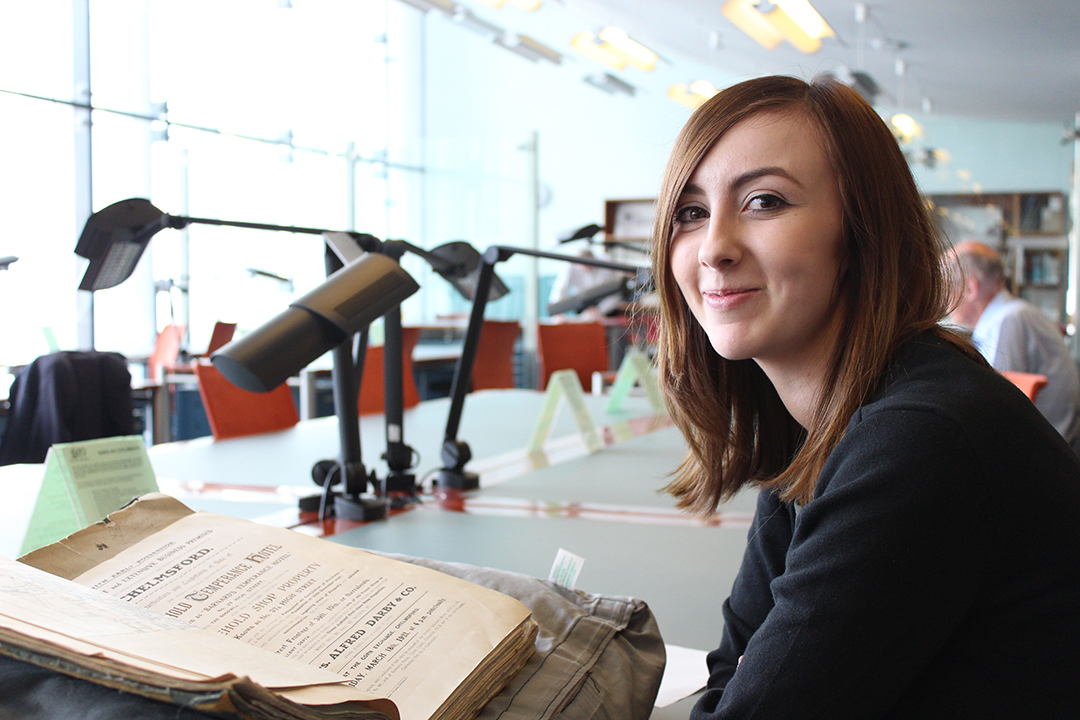
In this third post in our series looking at the history of Chelmsford High Street, Ashleigh Hudson looks at nos. 4-5 High Street through the centuries. Find out more about the project here.

The current site of NatWest Bank at the north end of Chelmsford High Street is most commonly associated with the Spalding family who occupied the property from 1892. Fred Spalding junior ran a successful photography and fancy goods business which remained on the site until the mid-20th century. The property was built in the 18th century on the former site of the Crane Inn and was mostly used as a private residence until the arrival of the Spalding family.

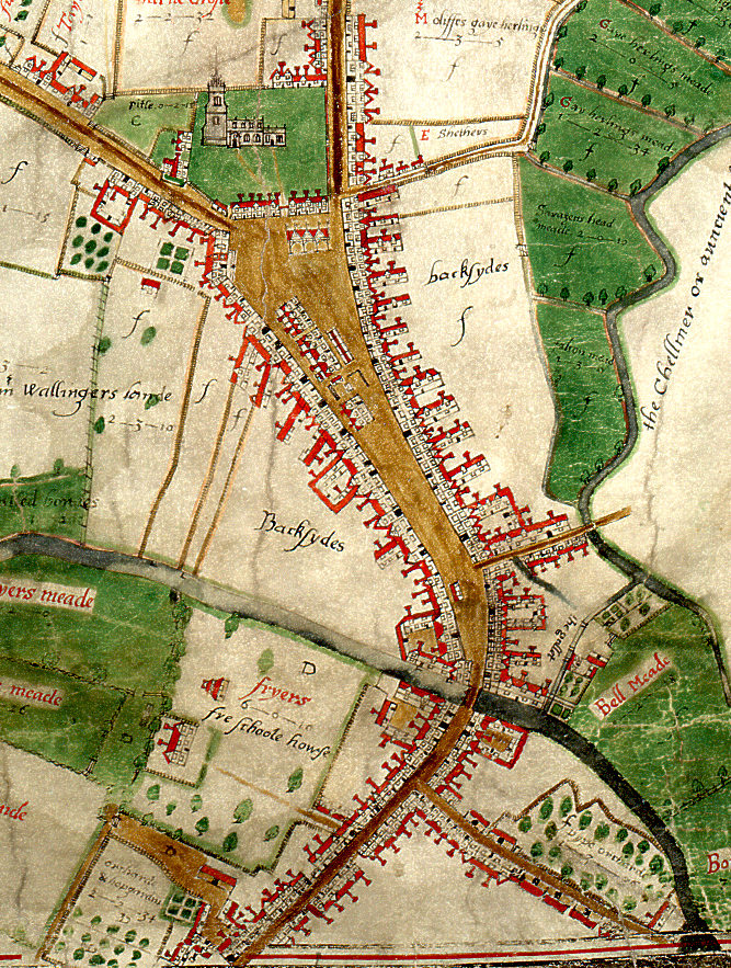
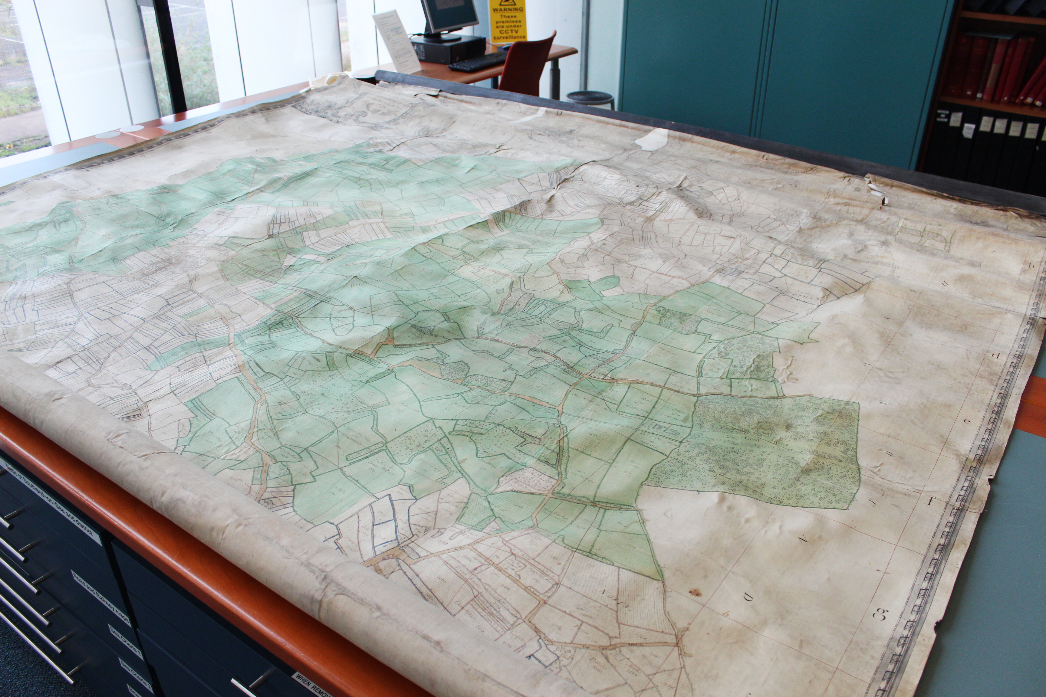
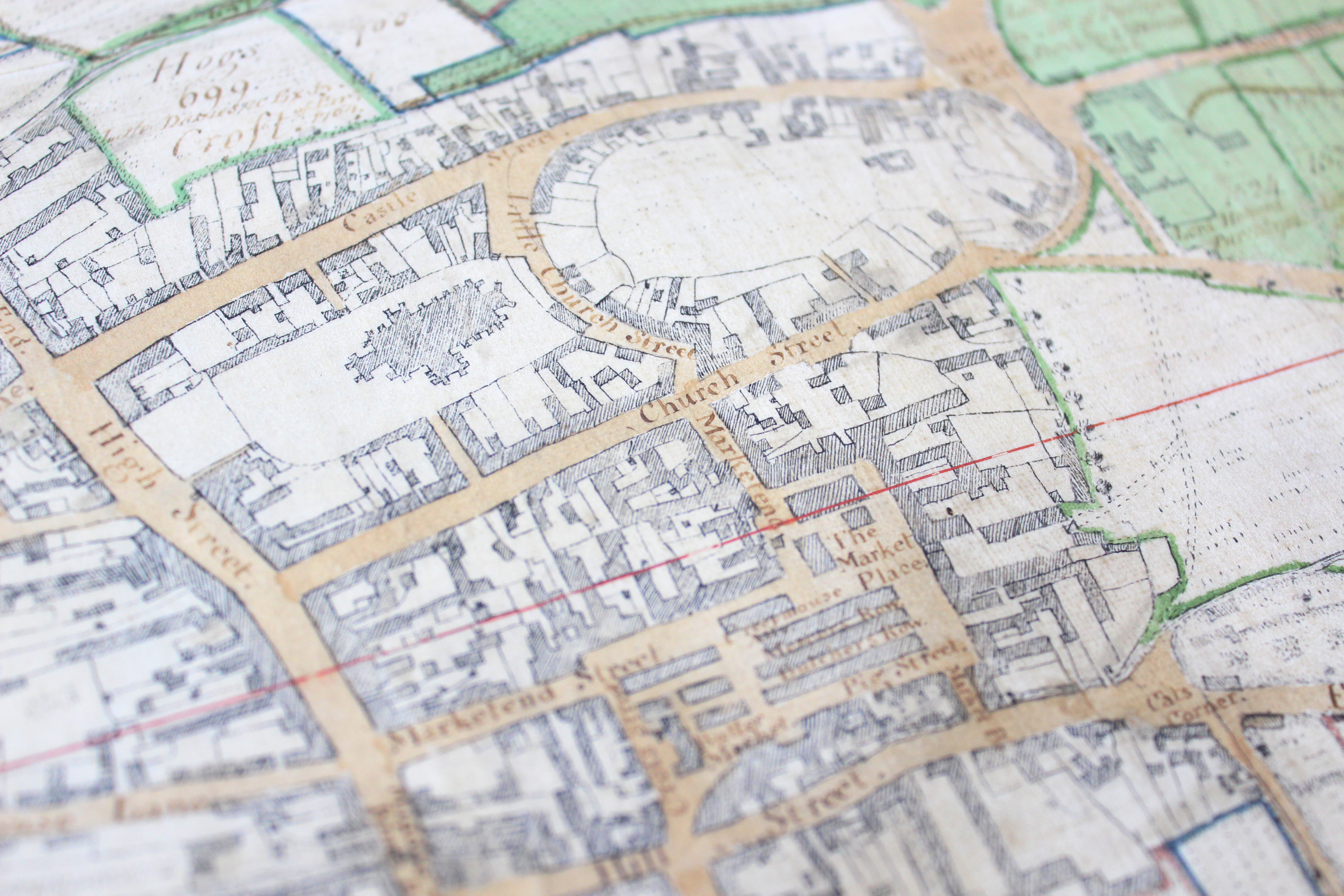
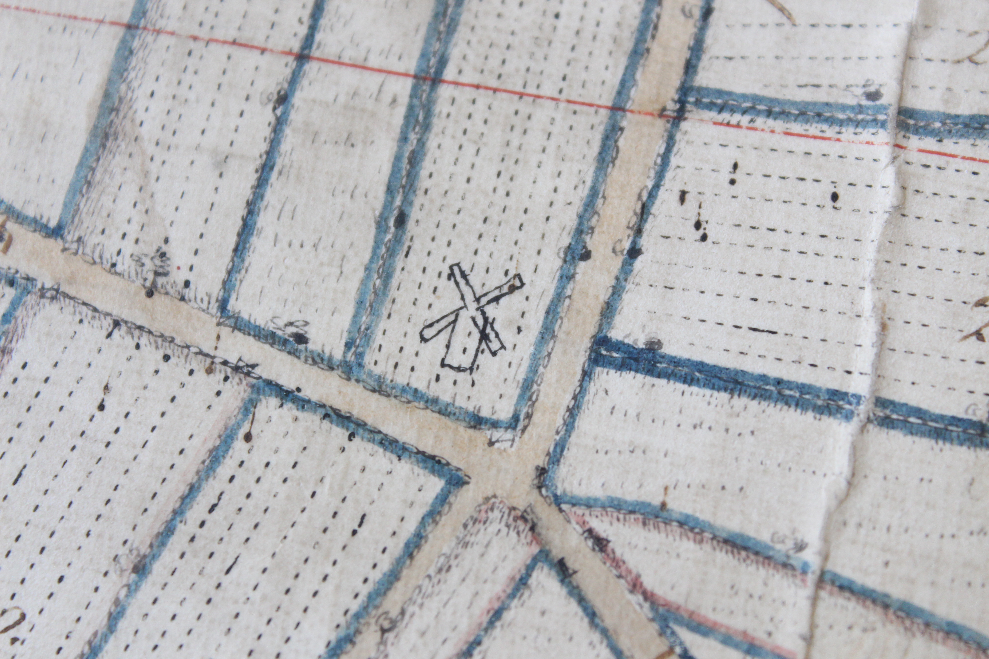
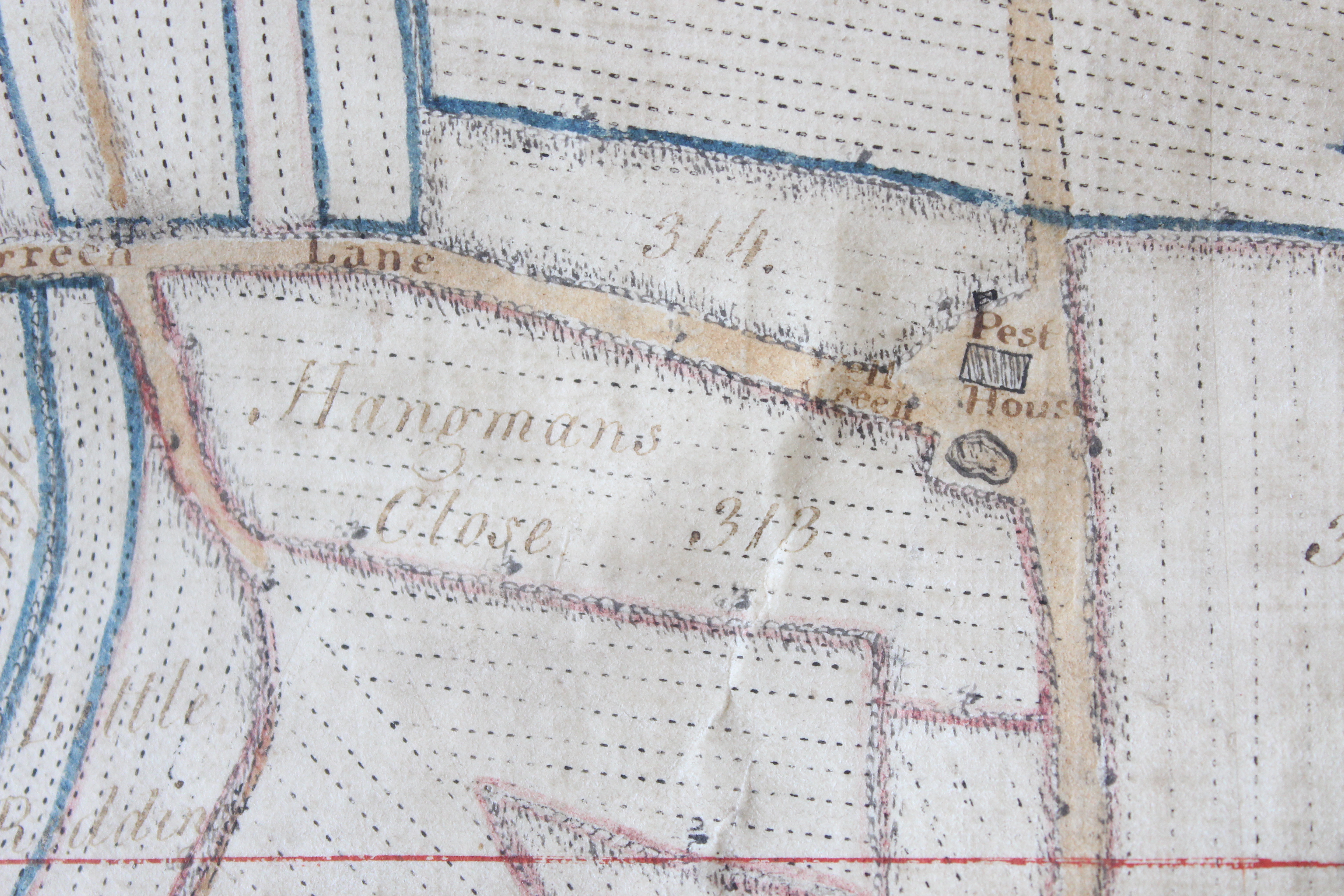
During the 16th century the Crane Inn, which was owned by Sir Thomas Mildmay, occupied the sites of 4-6 high street. The Crane Inn and yard, which is visible on the Walker Map, comprised numerous buildings which were progressively divided into smaller, individual properties during the 18th century. Number four was purchased by Thomas Old, a wine and brandy merchant, who rebuilt the property in 1784. The owner of number 5, Robert Tweed, perhaps inspired by his neighbour, rebuilt his own property the following year. The properties continued to function as private residences through to the 19th century.

Walker map extract

Extract from John Walker’s 1591 map of Chelmsford, showing the north end of the High Street where the Crane Inn was situated. (D/DM P1)

From 1871 number 4 was owned and occupied by wine merchant John Champ. The Champ residence was an attractive three-storey brick property.

(2) I-Mb 74-1-25

Early photo of the High Street taken from the Shire Hall. The Champ residence can be seen on the right of the Saracen’s Head Hotel.

Champ conducted a successful wine and brandy import business from the premises which was frequently advertised in the local newspapers. Ironically, Mr Champ himself did not drink. Chelmsford Mayor Frederick Spalding recalled the following encounter whereby a well-known local tradesman paid a visit to the residence to observe the different vintages of port and wine in Mr. Champ’s well-stocked cellar. Quoting Mr. Champ:

“That is a very special port, and I should say from the age and condition that it is worth quite 15/- a bottle.” On arriving back at the office he [Champ] said to his visitor, “Can I offer you anything to drink?” “Yes” came the quick reply, “I should like a glass of port from the special bin you showed me.” Mr Champ hesitated, but would not go back on his word. He brought a bottle and it is said the gentleman finished it before he left.”

The property obviously made an impression on the young Fred Spalding who purchased it shortly after John Champ’s demise in 1892. Fred Spalding’s father, also called Fred, was a self-taught photographer who got into the business really as the art itself was taking off. Fred senior moved to Chelmsford around the same time, where he set up business on Tindal Street. The Tindal Street store proved prosperous and this was where the young Fred Spalding learnt the family trade.

(3) I-LS-CFD-00036

Photograph of Tindal Square in the late 1860s. In the centre of the image is the original Spalding shop. The premises is fairly small and quite understated in comparison to the later shop situated on 4-5 5 High Street. A glass studio, necessary for photographers prior to the introduction of artificial lighting, is visible on the roof of the property.

By 1892, Fred Spalding junior was on the hunt for new premises to accommodate his expanding business. John Champ’s residence, described by a sale advertisement as occupying the most ‘commanding and desirable’ location in town, came up for sale in October of that year. Spalding surely agreed with the advertisement having purchased the property shortly after. He promptly commissioned the noted local architect Frederic Chancellor to redevelop the existing buildings to enable to smooth transition from ‘house’ to ‘shop’. Chancellor’s plans for the changes have survived and are deposited among his practice’s papers at ERO.

(4) D-F 8 280

Plan of alterations for the interior of number 4 High Street. (D/F 8/280)

The most noticeable change was the addition of large, glass display windows at street level which were used to display photographs and goods for sale.

(5)D-F 8 280

Plan of alterations for the exterior of number 5 High Street. (D/F 8/280)

Spalding’s skilfully arranged displays were renowned for captivating passers-by and drawing business into the shop. On one particular occasion in 1905, a Spalding’s display unintentionally exposed simmering tensions between the local constabulary and the town’s tradesmen. Crowds had gathered outside the shop window to view photographs taken of a recent railway accident in Witham. The Chief Constable of Essex later wrote a letter to the Town Council complaining that the display was obstructing the use of the pathway causing pedestrians to step into the road. The Constable scathingly wrote:

“Mr Spalding evidently thinks that the curtilage of his premises extends to the whole footpath and a part of the road…During my experience of over five years in this town I have found that the greater offenders against the laws of obstruction are the tradespeople…”

Mr Spalding, dismayed by the ‘trivial’ nature of the complaint responded:

“It is the ambition of tradesmen to make the best show they can of their goods. If the police are going to try to stop the tradesmen from showing their goods, the sooner I shut up shop the better.”

The issue was discussed at length by the Town Council where the complaint was universally agreed ridiculous, with Councillor Waller concluding:

“It was the people on the path who made the obstruction. If the police could not move them on they don’t seem to me to be competent.”

The shop continued to thrive throughout the first half of the twentieth century. The large crowd, depicted in the photograph below, have gathered outside the Spalding shop to await the arrival of Father Christmas, who made an annual detour to visit a grotto located inside the premises. This tradition was a popular and very well attended event.

(6) SCN 3914

The annual visit from Father Christmas to the Spalding shop was an extremely popular and well-loved event. (SCN 3914)

(7) SCN 3995

A large crowd eagerly awaiting the arrival of Father Christmas outside the Spalding shop in the 1920s. (SCN 3995)

The shop continued to operate during the war years, providing emergency shelter for up to 150 people. Shoppers caught on the high street during an air raid could find safety in the extensive basement below the Spalding shop.

(8) SCN 2261

The Spalding Shop, Chelmsford High Street (SCN 2261)

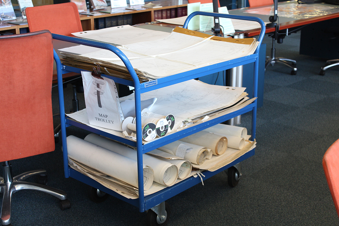
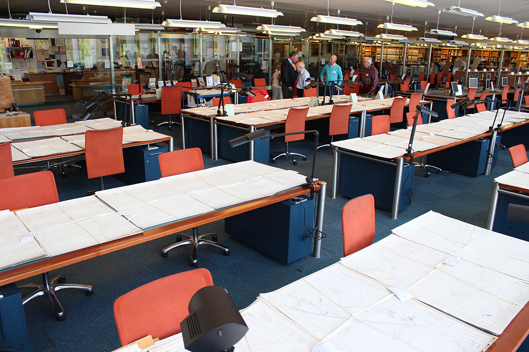
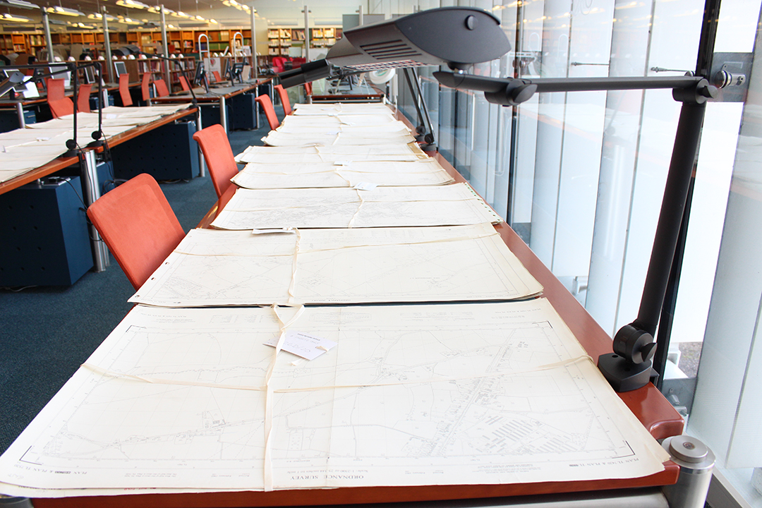
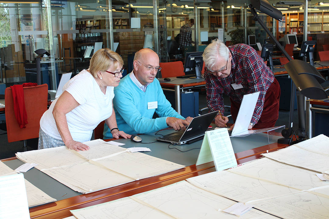
Frederick Spalding survived the war but died shortly after. He was a much revered member of the town, having served for over 50 years on the Town Council as well as three consecutive terms as Mayor. The closure of the shop swiftly followed, marking the end of an era for Chelmsford photography. For the best part of a century, the Spalding family captured both the history and character of the town. The legacy of this endeavour can be found in the vast collection of photographs which are housed in the Essex Record Office. The Spalding image collection, which number in excess of 7000, is available for viewing from the Essex Record Office Searchroom.

(9) Current Image

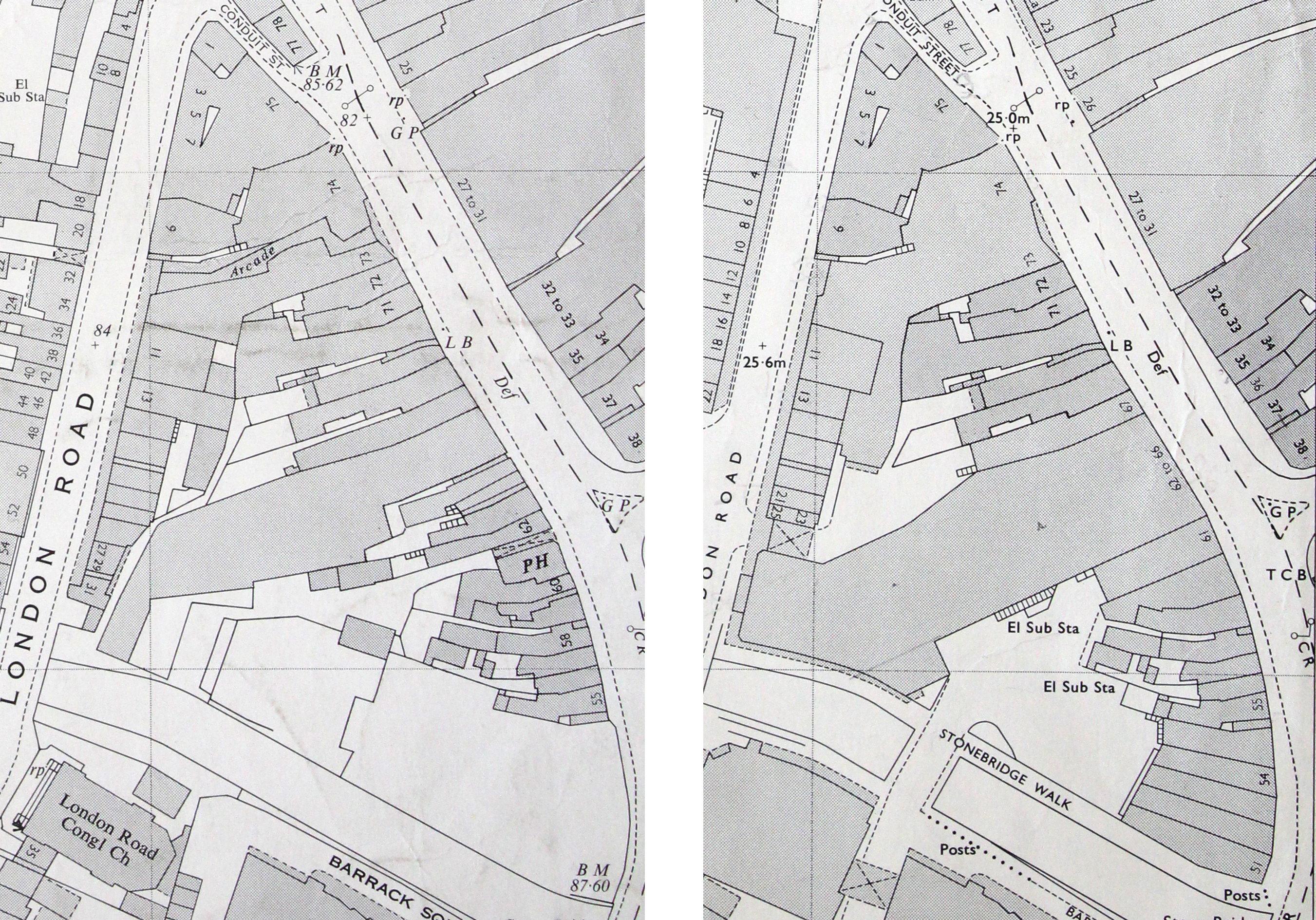
NatWest, Chelmsford High Street

At first glance the current NatWest building appears radically different but in reality, the original features of the 18th century building still remain and are visible beneath the layers of pale blue and cream paint.

If you would like to find out more about Fred Spalding and his photography shop see The World of Fred Spalding by Stan Jarvis available in the ERO Searchroom. Alternatively pop into the ERO and browse the fantastic collection of Spalding images located in the Searchroom.

Chelmsford Then and Now

IMG_6536 compressedWe were fortunate recently to have University of Essex student Ashleigh Hudson undertake a 10-week research project with us exploring the history of several properties along Chelmsford High Street. Ashleigh has used a range of sources, including documents, maps, and photographs, to highlight areas of continuity and change. Her research findings will be turned into a display, and also shared here in a series of blog posts, starting now…


A Royal Charter, granted in 1199 by King John, authorised a weekly market to be held within Chelmsford. A town grew around the market and by the 16th century, the basic shape of the high street had been firmly established. In fact the essential pattern of the High Street has not changed a great deal since the 16th century. A quick comparison of John Walker’s 1591 map of Chelmsford and a map of the high street today reveals that the fundamental shape of the town is very much the same.

John Walker's map of Chelmsford, 1591

Extract from John Walker’s map of Chelmsford, 1591.

Internally, the High Street is quite different, with all of the timber buildings featured on the Walker Map long replaced by brick buildings of modern design.  Economic factors, social mobility and technological advancements have all impacted on the structural development of the High Street. Development has occurred sporadically, and according to the whims of a particular owner at a given time. By the latter half of the 20th century, the demand for retail and a growing population seemingly justified the demolition of vast portions of the town, which were deemed no longer fit for purpose. To many long-term residents of Chelmsford, modern development has completely obscured the town they knew and loved.

Chelmsford OS maps 1963 1974

Extract from the OS Map of 1963 (left) and 1974 (right). A comparison of the two maps reveals that by 1974 many of the individual properties situated on the west side of the high street have been demolished or consolidated to make way one large store, Marks and Spencer’s. Marks and Spencer’s currently occupies the former sites stretching from 62-66.

One of the biggest challenges facing Chelmsford High Street is a perceived lack of history; the belief that 20th century development has stripped away the heritage and integrity of the town. In actuality there is still a great deal of history hidden, often just above street level. Even where the ancient building has been demolished, the plots themselves have a story to tell. It is entirely possible for modern development to occur and coexist with areas of historic value; the challenge is building awareness and a sense of appreciation for the history behind the High Street.

King's Head Chelmsford | Essex Record Office

Photograph of the King’s Head shortly before it was demolished to make way for a branch of F.W Woolworth. The King’s Head had occupied the site since the 17th century and was a central part of town life throughout that period. Though the physical building has gone, the King’s Head is a large part of the history of 40-41 High Street, so much so that the carpark to the rear of the property was named in its honour.

Woolworth's Chelmsford 1930s | Essex Record Office

Photograph of F.W Woolworth in the 1930s. The photograph reveals an entirely new building sitting on the former site of the King’s Head.


Barclays Bank, 40-41 High Street Chelmsford

The former Woolworth’s building is currently occupied by Barclays Bank. A quick comparison of this photograph and the one above reveals a high level of continuity, just above street level.

The aim of this project is to construct a historical profile of selected sites across the high street using a range of different sources. The research gathered will be presented in a variety of ways to highlight areas of continuity and change. It is hoped that this project will encourage a greater awareness of the historic development of Chelmsford High Street and a stronger appreciation for the town itself.

The Essex Record Office has provided most of the primary material for this project. Supplementary material has been sourced from The Essex Newspaper Archive and Ancestry, both of which can be accessed in the ERO Searchroom. Hilda Grieve’s detailed history of Chelmsford The Sleepers and The Shadows was a fantastic starting point for much of the research, and a constant source of reference throughout. Look out for the Chelmsford Then and Now series of blog posts to be posted on the ERO blog shortly. Alternatively, why not check out our new HistoryPin page which contains a range of photographs of Chelmsford High Street through time.

Finding our way through the National Grid

 Lawrence Barker, Archivist

The ERO has a fine collection of late 19th and early 20th century large scale OS maps (1:2500 County Series) available for public consultation in the Searchroom.  However, we wanted to extend the collection to include later 20th century National Grid maps of the same scale. Some mid-Essex maps are available to view but many, among various collections which have been donated to the ERO over the years, remain to be made so.

IMG_6362

IMG_6367

Just a few of the maps awaiting sorting and cataloguing

A Map Project involving volunteers has been underway for three years to achieve this and has reached the stage where, having identified and listed our remaining maps and their locations, assessing duplication and condition, we are now ready to select those which will be added to the Searchroom collection.  The task is complex though, and involves the volunteers spreading out maps around the Searchroom whilst we are closed on Mondays so they can be sorted.

IMG_6357

Spreading out maps in the Searchroom ready for sorting

IMG_6360

Our team of volunteers comprises Michael and Jane Thomas, who are NADFAS members, John Longhurst, and Andrew Morton who acts as leader bringing his expert knowledge of maps as a former land surveyor usefully to the task.

IMG_6370

The sorting and listing of the 20th century National Grid maps is a long term project that will take a few years, but we are looking forward to the end result of making our map collection ever more accessible.

The passing of the plotlands

Archivist Lawrence Barker takes a look at the rise and fall of the Basildon plotlands…

Anyone exploring the history of the development of Basildon New Town is quite likely to encounter the curious phenomenon of the ‘plotlands’.  These developed throughout the first half of the 20th century but were to more-or-less disappear with the development of Basildon New Town for which much of the land was purchased, compulsorily if necessary, during the 1970s.  The history of this process has recently generated quite a lot of interest (a talk given at ERO in April 2014 in April by Ken Porter proved to be the best-attended of the year).

In searching for original records for another project on the same subject, we uncovered many more previously hidden in the large collection associated with Basildon Development Corporation which was responsible for the creation of the New Town. The development of the plotlands had is origin in the decline of agriculture in this country during the second half 19th century.  In particular, cheaper grain imported from America in the mid 1870s knocked the bottom out of the grain market resulting in many farms switching to pasture.

Great Gubbins sale poster watermarkedSouth Essex, with its heavy clay soils which were more difficult and therefore more costly to work, was particularly hard hit.  On top of that, an extended period of bad weather finally finished off arable farming in south Essex.  Many farms collapsed and were sold off as cheap building land; farms such as Great Gubbins near Laindon.  The sales catalogue (left) and map (below) dating from 1885 (D/DS 4/20) shows the extent of the original farm land which was put up for sale.  Towards the bottom, one can see the proposed route for the new extension of the railway to Southend and the location of the new station to be built for Laindon. Great Gubbins sale map watermarked

It is interesting to compare how the same area looked 50 years later on an OS map in 1939 showing the plotlands landscape fully established (below, with Great Gubbins Farm outlined in red).

OS map new series 1939 81-9 watermarked Yet, little seems to have happened at first.  Another sales catalogue with map for the same land dated 1893 (D/DS 15/2) shows the vacant land this time split into 5 lots.

Laindon Station estate sale cat 1 watermarkedIt was the coming of the railway that seems to have boosted sales but not perhaps in the direction the vendors had originally hoped.  Records dating from the 1890s for the development of the neighbouring estate surrounding the new Laindon station (D/DS 4/35), called the Laindon Station Estate, include posters and catalogue (left) advertising cheap building land and show the aspiration held by the vendors Protheroe and Morris that the area would ‘shortly become an important residential neighbourhood’ served by shops and even featuring a new Essex racecourse.  This time the land was parcelled up into hundreds of smaller 20-by-140 foot plots (hence plotlands) which buyers could combine to create larger plots if they wished as shown on the accompanying map (below).

Laindon Station estate 1892 watermarked

Instead, although a new hotel and some shops were built near the station, most of the plots were bought up by hoards of ordinary folk as individuals who erected all kinds of chalets and shacks which they used as weekend retreats.  The pictures below were found among many such photographs in the first box of Basildon Development Corporation records (A9238) and demonstrate the variety of buildings erected by the plotlanders, in this case in Victoria Road on the former Great Gubbins farmland.

Victoria Road Photos watermarked Deanna Walker provides a fine first-hand account of the process in her book Basildon Plotlands published in 2001, where she describes her childhood memories as a resident of Dagenham spending weekends in the plotlands at Langdon Hills. Later still, many people replaced their shacks with more substantial bungalows and came to take up permanent residence. When the time came for the land to be designated for development for Basildon New Town, the Development Corporation commissioned surveys of the land which include maps of the various plots based on copies of large scale OS maps with each plot numbered, linked to a description, name, no. of rooms, condition, life, architectural quality, services (e.g water, sewerage, gas, electricity), rate value, condition of plot, and remarks (see below).  These have been catalogued as A/TB 1/8/10/1-14. Laindon Station estate 1949 watermarked Material uncovered Box no.1 of A9238 includes aerial photographs of the Basildon area prior to development of the New Town showing the plotlands, and later photographs showing the transformation from plotlands to new town.  For example, the photograph below shows how the streets planned for residential estates were created first with building following on after, and one can just detect a few remaining plotlands before they were obliterated. Baslidon Aerial Photo 1 watermarked Typically, people whose properties were affected were encouraged to accept the inevitable and take the initiative in coming to an agreement with the Development Corporation to sell their plot to them and so avoid compulsory purchase. A typical letter is one received by a plotland owner on 30 January 1962 which begins by outlining the Corporation’s intention to develop the area and that their property will be affected.  It then goes on to say that the Corporation has authority from the Minister of Housing and Local Government to:

…buy by agreement the land and property required for this redevelopment and it is hoped that you will be prepared to consider opening negotiations for the sale of your property by agreement to the Corporation.

The Corporation also offered to pay for legal costs, surveyors’ fees and ‘reasonable removal expenses’ if an agreement is reached and, in addition, to offer alternative accommodation. Not everyone was affected though.  Another box (no.33) includes individual case files of plotland properties which were not to be affected by the creation of the New Town and which possibly still exist today.

If you would like to find out more about plotlands for yourself, there is plenty of material to explore in the ERO archive and library.

Saffron Walden: 1758

This coming Saturday, 8 November 2014, come and join us at Saffron Walden Town Hall for a look at one of the most spectacular maps in our collection.

IMG_4469 edit

The map shows the town of Saffron Walden and the surrounding area, and is so large we’ve had to give serious thought to how we will transport it!

IMG_4451 edit

The map was made in 1758 by Edward John Eyre, along with a survey book, recording all the individual pieces of land, and how they were being used. The day will include a talk from an ERO Archivist about how the map and survey book work together.

IMG_4512

The map shows the town of Saffron Walden, and lots of other local details.

IMG_4489-1 IMG_4487 IMG_4485 IMG_4465 editIf you would like to join us on Saturday to see the map, here are all the details:

Saffron Walden 1758 At Saffron Walden Town Hall

In 1758 an extensive survey was carried out covering lands surrounding Saffron Walden, and several maps were made to accompany the survey books. This is a unique opportunity to see these maps and the survey books displayed together, to explore what the town and surrounding countryside looked like in the mid-eighteenth century.

The day will include a talk by Paul Marden of the Essex Place Names Project at 11.30am explaining the origins of some of the field names on the map. Allyson Lewis, archivist at the ERO will then give a talk at 12.00noon about the survey which accompanies the map.

Saturday 8 November, 10.30am-3.00pm

Free entry, suggested £2.00 donation

Saffron Walden Town Hall, Market Square, Saffron Walden, CB10 1HR

In association with the Saffron Walden Archive Access Point

Supported by Saffron Walden Town Council

Great British Railway Journeys: Ilford to Rochester

With series 5 of Great Railway Journeys continuing tonight on BBC2 episode 18 sees Michael Portillo journeying from the edge of the metropolis in Ilford to Tilbury before crossing the Thames to Gravesend. As with episode 17 we thought we would take a look at some documents related to some of the sights he will be seeing along the way.

The London, Tilbury and Southend railway was granted an act of parliament in 1852 to begin purchasing land; by just 1854 it had reached as far as Tilbury. The railway was intended to link up the growing industries along the north bank of the Thames such as the chalk works at Tilbury and the burgeoning towns of Prittlewell and Southend. Perhaps most importantly for the railway company, the line allowed their customers easy access to the company’s own pier just across the Thames at Gravesend, already a common embarkation point for overseas travel from England.

I/Mb 360/1/28

Riverside Station, Tilbury, 1920

OS 25 inch Sheet 95.12 1920

Ordnance Survey map of Tilbury from 1920 showing the distinctive triangular arrangement of the railway lines, with workers’ cottages in the middle. Click for a larger version.

With the coming of the railway to Tilbury and the increasing prevalence of  steam ships, Tilbury became an attractive location for the East and West India Dock Company to build a new port. It was well positioned downstream and therefore more convenient for ships than docks belonging to their competitors further up-stream in London. Ground was broken in 1882 and the photograph below shows the opening of the docks in 1884 with much fanfare. The port quickly became the most important deep-water port on the Thames and was integrated into the Port of London in 1909.

Opening of Tilbury Docks, 1884

Opening of Tilbury Docks, 1886

Port of London Authority map of Tilbury Docks, early twentieth century

Port of London Authority map of Tilbury Docks, post 1909 after it was taken over by the PLA

Amidst all the clamour of industry and squeezed between a gasworks and the dock itself lies the jewel in Tilbury’s crown. Before industry and the railway Tilbury was important for another reason. Henry VIII had built a simple “D” shaped blockhouse there with an opposite number in Gravesend to defend the Thames with their guns and by drawing a chain across the river between them. With the threat of the Spanish Armada in 1588 the fort was improved and repaired and it was here that Elizabeth I reportedly famously rallied her rag-tag army with the words “I may have the body of a weak and feeble woman but I have the heart and stomach of  a king, and a king of England too”.

I/Mb 360/1/1

Print of Tilbury Fort. There are several views of the Fort in our collections, many of which have been digitised and can be viewed online on our catalogue Seax

I/Mb 360/1/6

Coloured print of Tilbury Fort

Modern European military thinking greatly influenced Charles II during his exile from Britain and led to the redevelopment of Tilbury Fort into its modern star shape in the 1670s. The Fort was held by the Parliamentarians in the Civil War and was refortified in the Napoleonic wars and again in 1914. The Fort straddled the border of the parishes of West Tilbury and Chadwell, with the officers quarters being on the West Tilbury side and the other ranks in Chadwell. This is reflected in the parish burial registers, with officers appearing in the West Tilbury registers, and the men in the Chadwell registers.

D/DU 446 map Tilbury Fort and Gravesend

Extract from map of the Thames around Tilbury and Gravesend, showing Tilbury Fort in 1780. South is at the top of the map, and north at the bottom.